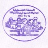
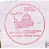
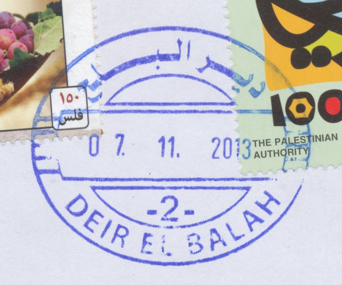
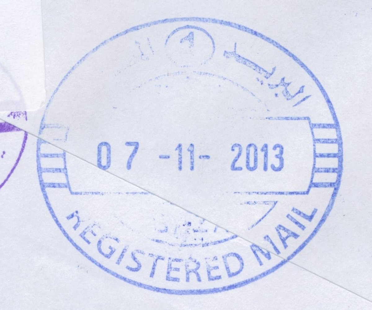
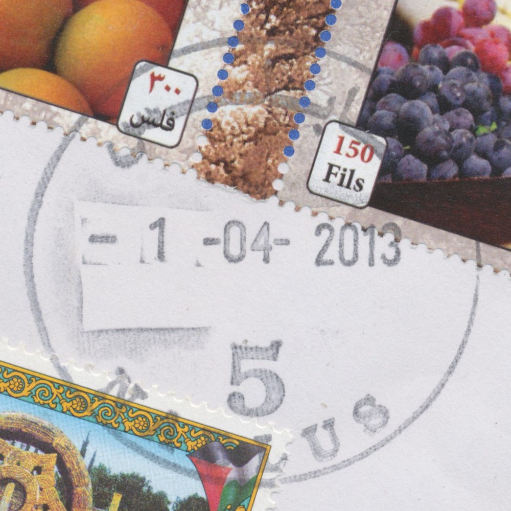
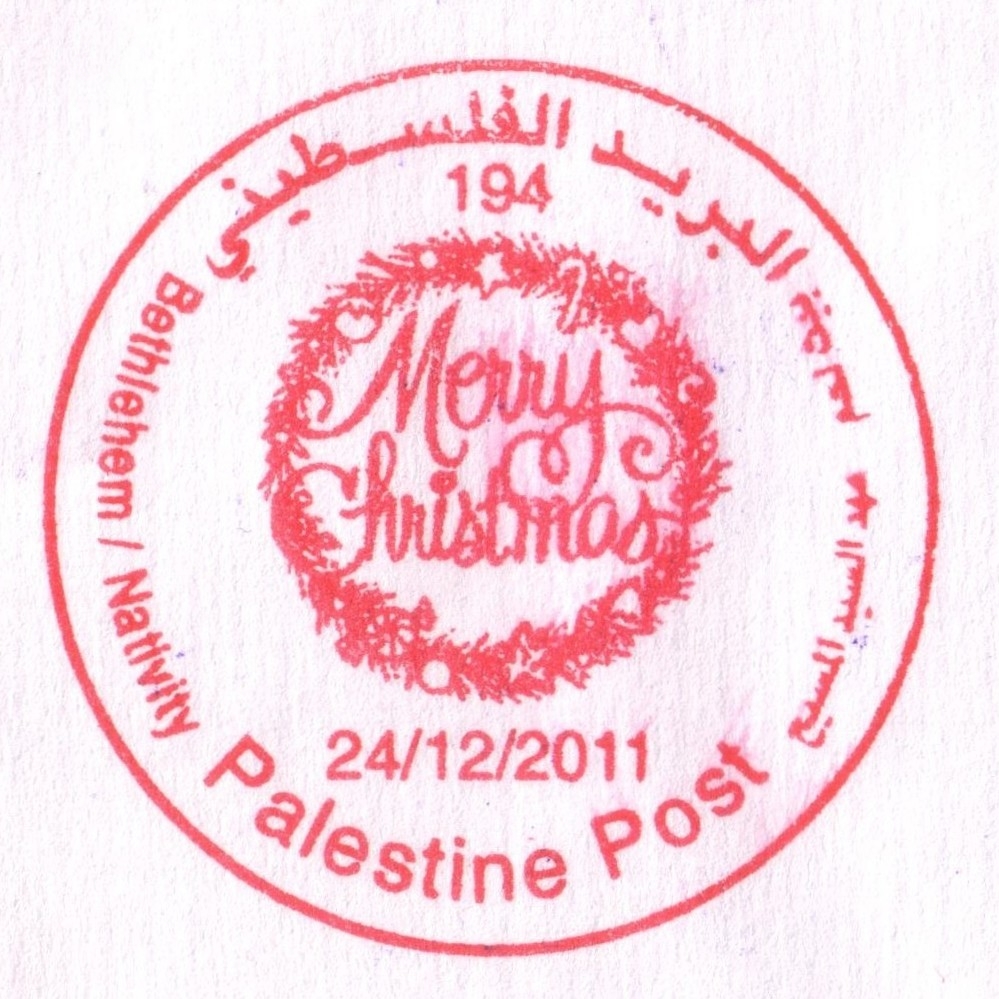
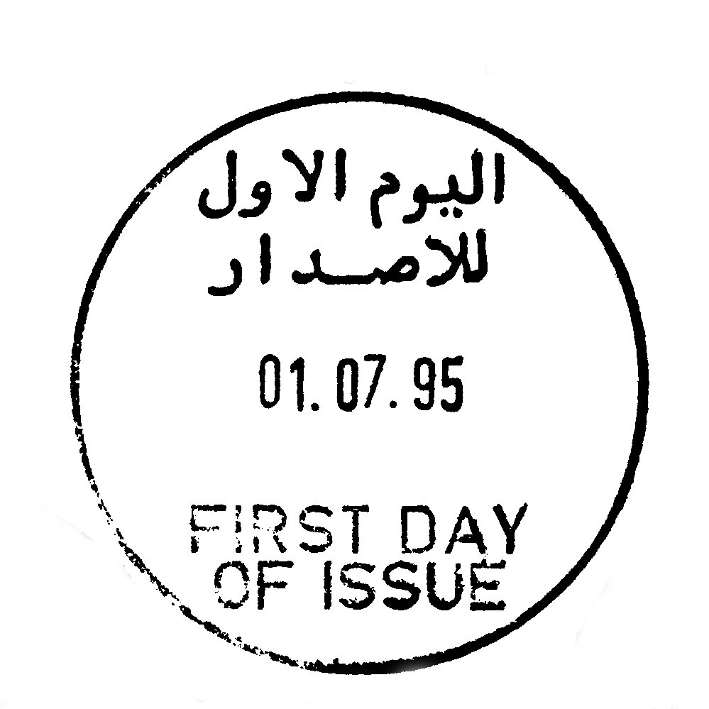
 Deir el Balah © OpenStreetMap contributors, CC-BY-SA") | Deir el Balah ديرالبلح Deir El Balah, Dir Elbalah, Deir Al-Balah | Pop.: 49,751 Govern.: Deb Opened: 1948 Postcode: 920 | |||||||||
| 31°25' N, 34°21' E OpenStreetMap Google Maps Wikipedia | Seat of the Governorate with 49,751 inhabitants in 2006 (mid-year estimate) and 42,839 in the 1997 Census. The neighbouring refugee camp has a further 12,004 residents. The post office is situated on al-Shuhadaa street opposite the Cairo-Amman bank. The town's first post office was opened in 1948 under Egyptian rule (TPO postmark). A post office under control of the Israeli military occupation forces existed from 20.07.1967. | ||||||||||
| |||||||||||
 direlbalah2_131107_0441")
") ") | |||||||||||
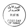
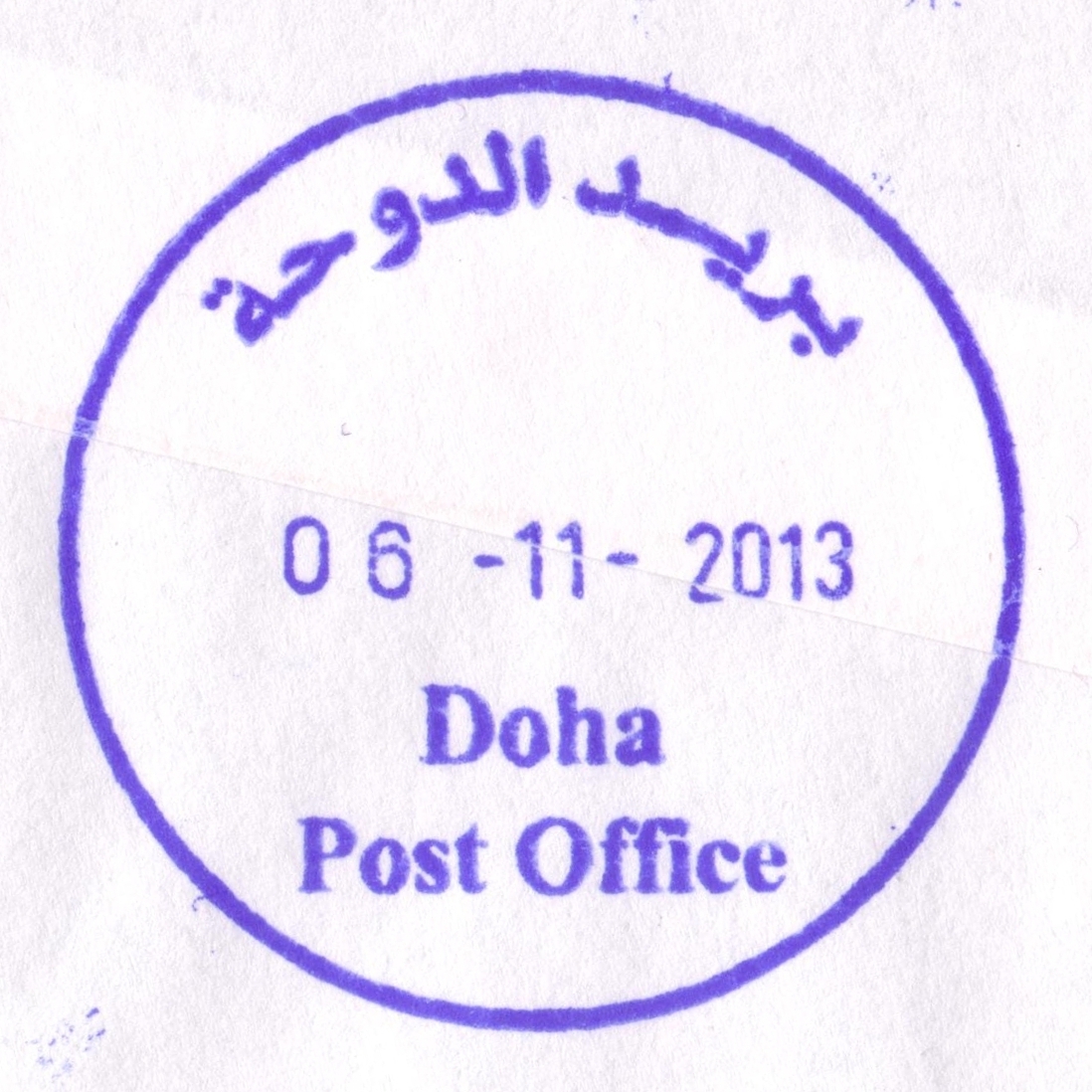
 Ad Doha © OpenStreetMap contributors, CC-BY-SA") | Ad Doha الدوحة al-Dawha, al Doha | Pop.: 9,753 Govern.: Bet Opened: 7.10.2013 PO Number: 507 Postcode: 165 | |||||||||
| 31°42' N, 35°11' E OpenStreetMap Google Maps Wikipedia | Municipality about 3 km W of Bethlehem with a population of 9,753 (Census 2007, 1997: 5,196), just N to ad-Duheisha refugee camp (poulation 8,736). The post office is in the municpual building just off the main road from Jerusalem to Hebron towards ad-Duheisha. | ||||||||||
| |||||||||||
 doha_131106_0435")
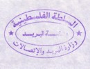
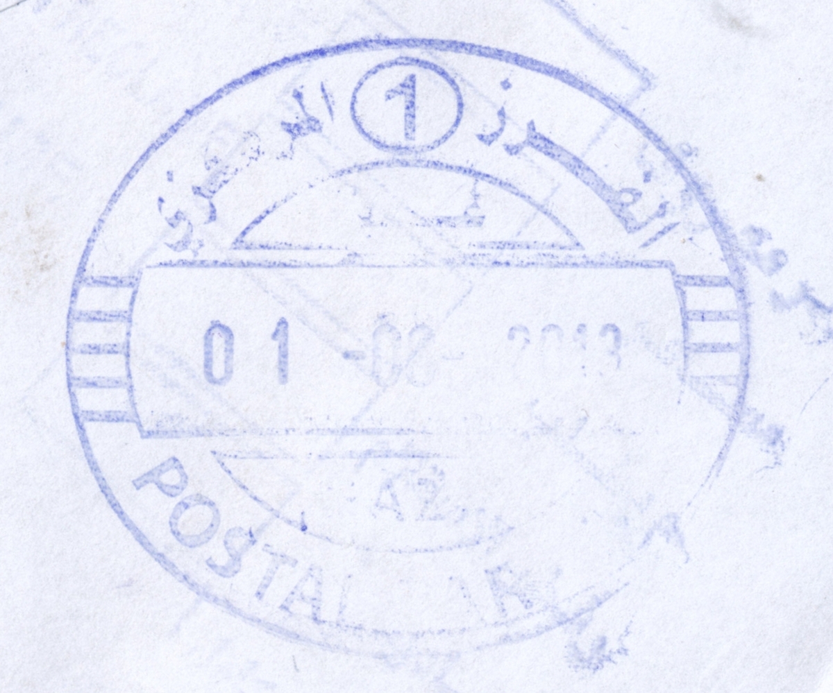
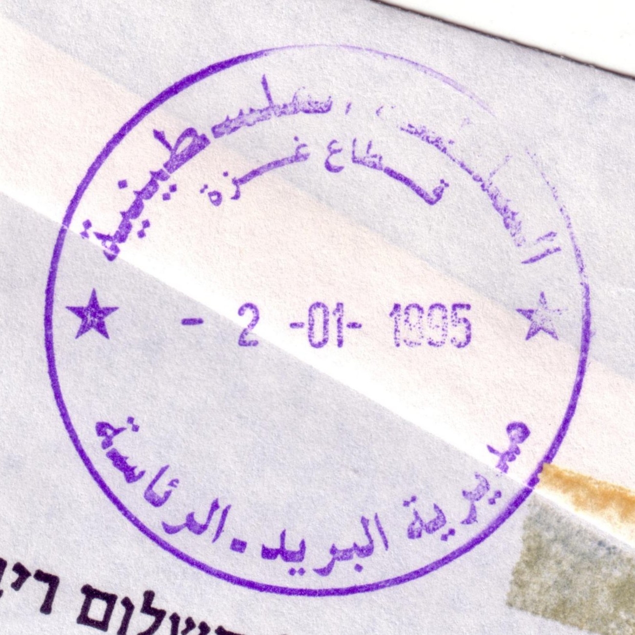
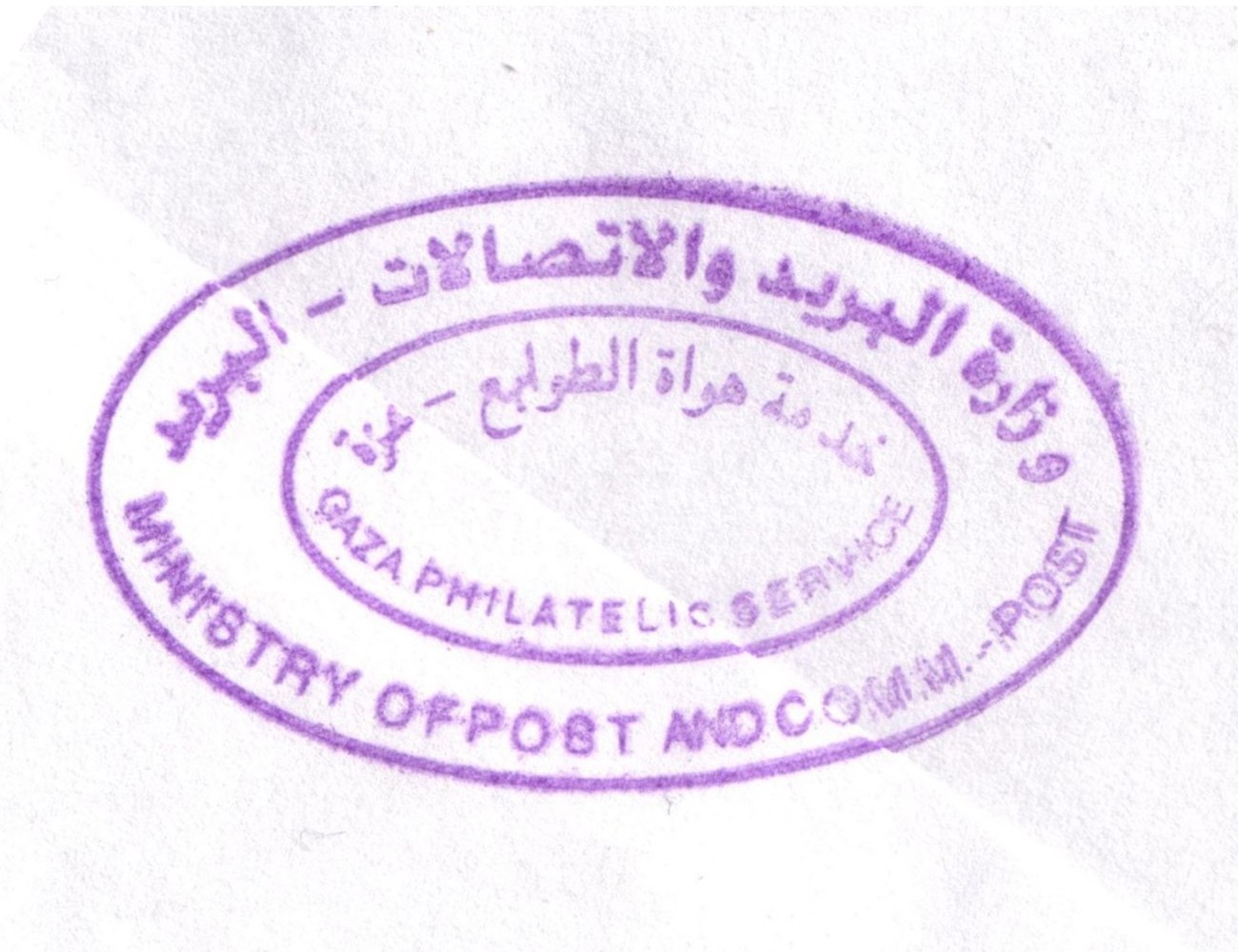
 Gaza, Central Sorting © OpenStreetMap contributors, CC-BY-SA") | Gaza, Central Sorting غزة - الفرزالمركزي Gaza, Central Sorting | Pop.: n/a Govern.: Gaz Opened: - Postcode: 860 | |||||||||
| 31°33' N, 34°27' E OpenStreetMap Google Maps Wikipedia | Central sorting facilty, situated in the Omar al-Mukhtar office. | ||||||||||
| |||||||||||
| |||||||||||
 gazapostal1_130801_0437")
 gazacensortreg1_131107_0438")
") ") | |||||||||||
") ") | |||||||||||
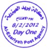
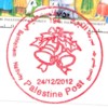
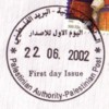
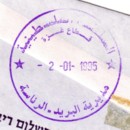
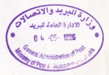
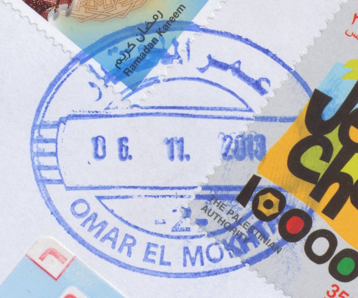
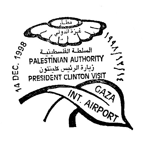
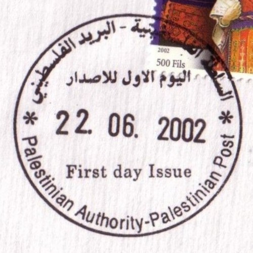
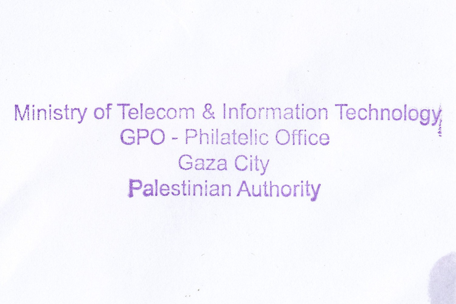
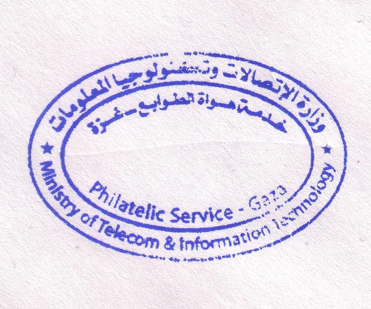
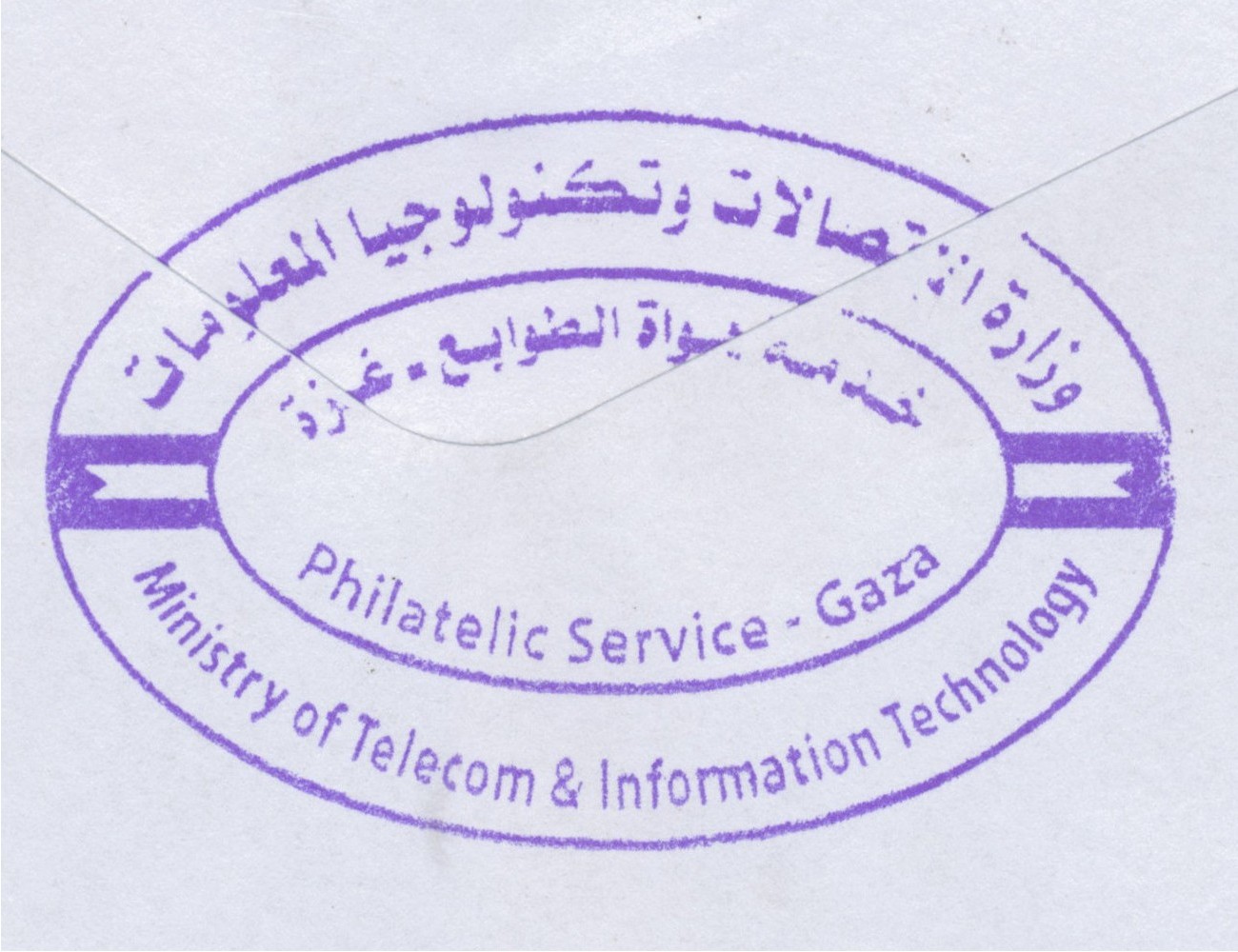
 Gaza, Omer El Mokhtar © OpenStreetMap contributors, CC-BY-SA") | Gaza, Omer El Mokhtar غزة - عمرالمختار Gaza, Omer El Mokhtar | Pop.: 409680 Govern.: Gaz Opened: 17.10.1996 PO Number: 909 Postcode: 850 | |||||||||
| 31°33' N, 34°27' E OpenStreetMap Google Maps Wikipedia | Governorate capital with a population of 409,680 (2006 mid-yearestimate). The first post office was opened in 1865 by the Ottoman authorities. A post office (New Gaza 5) under control of the Israeli military occupation forces existed from 9.04.1968. The city's main post office is in the MTIT building on Omar al-Mukhtar Street between Abu Khadra mosque and the municipal park. From 4.11.2012, the office moved temporaily to the Government Computer Complex building Abu Khadra. The PO was re-opened on 12.02.2013 with an official ceremony on 26.02.2013 (5.03.2013?). | ||||||||||
| |||||||||||
 gazaOmar2_131106_0439")
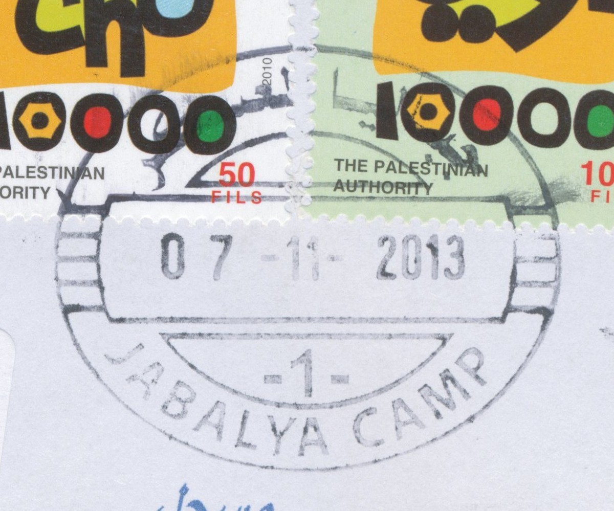
 Jabalya, Jabalya Camp © OpenStreetMap contributors, CC-BY-SA") | Jabalya, Jabalya Camp جباليا المعسكر Jabalia Camp, Jabalya Camp | Pop.: 93,455 Govern.: Gzn Opened: 21.02.1999 Postcode: 819 | |||||||||
| 31°32' N, 34°30' E OpenStreetMap Google Maps Wikipedia | Refugee camp, established in 1948, just N of Jabalia city in North Gaza Governorate. Residents in the 2006 mid-year estimate: 93,455, UNWRA estimates about 108,000 refugees in and around the actual camp. ## Egyptian office? 1962 | ||||||||||
| |||||||||||
 jabalyacamp1_131107_0442")
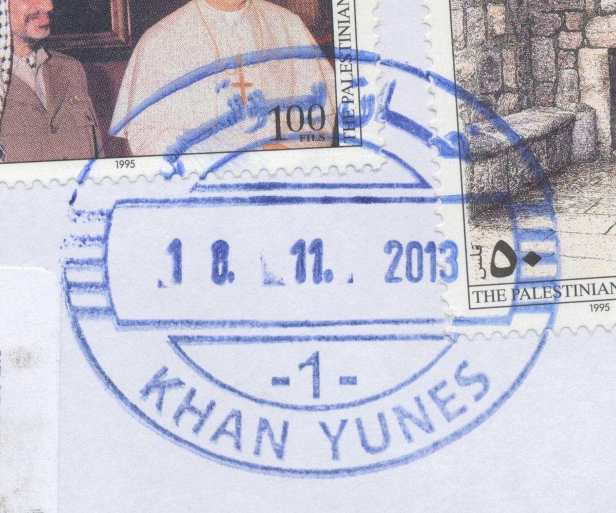
 Khan Yunes © OpenStreetMap contributors, CC-BY-SA") | Khan Yunes خان يونس Khan Yunis | Pop.: 130,607 Govern.: Kha Opened: 1910 Postcode: 950 | |||||||||
| 31°21' N, 34°18' E OpenStreetMap Google Maps Wikipedia | Governorate muhfaza with 130,607 residents acoording to the 2006 mid-year estimates 2006. In the 1997 Census there was a population of 123,056 which then incl. the refugee camp (see Al-Amel). The post office is situated near the municipality on al-Quds street next to al-Shorta mosque. The first office in the town opened in 1910 under Ottoman control. An Egyptian office operated here from 1948--1967. A post office under control of the Israeli military occupation forces existed from 20.07.1967. 'Khan Yunes 2' is presumed to be al-Amel. | ||||||||||
| |||||||||||
 khanyunes1_131118_0443")
") ") | |||||||||||
") | |||||||||||
 | |||||||||||
 Nablus © OpenStreetMap contributors, CC-BY-SA") | Nablus نابلس Nablus | Pop.: 126,132 Govern.: Nab Opened: 13.02.1865 PO Number: 301 Postcode: 400 | |||||||||
| 32°13' N, 35°16' E OpenStreetMap Google Maps Wikipedia | Governorate capital with 126,132 inhabitants (Census 2007, 1997: 100,034). The first post office in the city was operned in 1865 by the Ottoman authorities. Jordanian authorities operated a post office (district main PO) from (?)##. A post office under control of the Israeli military occupation forces existed from 13.07.1967, a 'Nablus Market Branch' (pmk: 'Nablus 3') opened 16.06.1971 but closed 31.03.1973. The current main office is on King Faisal road, next to PalTel and municipal offices. | ||||||||||
| |||||||||||
 nablus5_130401_0434")
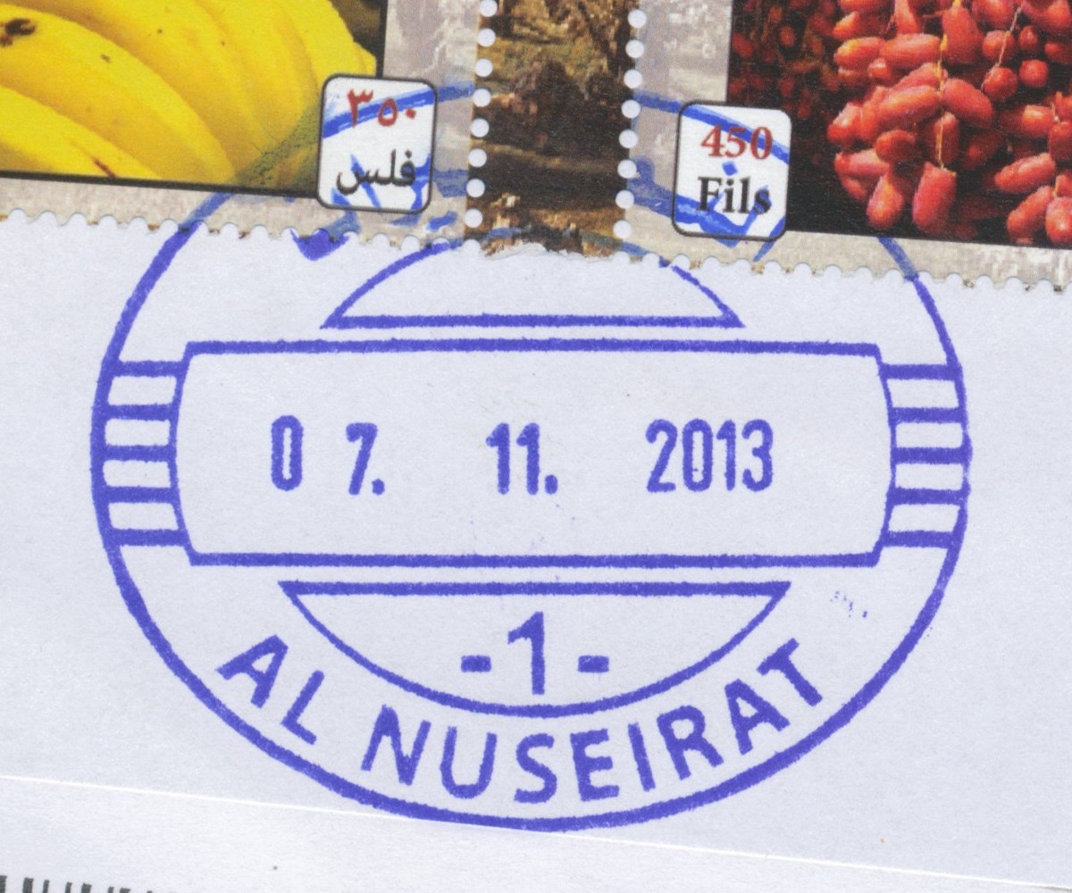
 Al Nuseirat © OpenStreetMap contributors, CC-BY-SA") | Al Nuseirat النصيرات Al Nusirat, El Nuserat, Alnuseirat, Al-Insairat Camp | Pop.: 64,423 Govern.: Deb Opened: 1.01.1995 Postcode: 905 | |||||||||
| 31°27' N, 34°24' E OpenStreetMap Google Maps Wikipedia | Refugee camp (established in 1948) just NW of al-Buraij camp and 5 km NE of Deir al-Balah. Estimated 2006 population: 64,423 (1997 Census: 44,685). UNWRA lists 62,000 registered refuguees. An Egyptian office opened in 1965. A post office under control of the Israeli military occupation forces existed from 18.05.1969. As of January 2013, pending redevelopment, the PO was closed, with services provided by Deir-al-Balah PO. | ||||||||||
| |||||||||||
 alnuseirat_131107_0440")
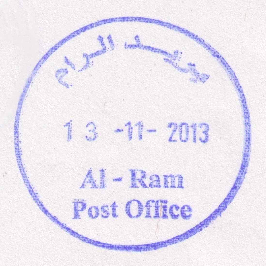
 Al Ram © OpenStreetMap contributors, CC-BY-SA") | Al Ram الرام Alram, Er-Ram, Ar Ram & Dahiyat al Bareed | Pop.: 20,359 Govern.: Jer Opened: 1.11.1990 PO Number: 103 Postcode: 126 | |||||||||
| 31°51' N, 35°14' E OpenStreetMap Google Maps Wikipedia | The largest town in the so-called J2 area of Jerusalem Governorate, right in the middle between Jerusalem and Ramallah, near Beit Hanina and Jaba' with a population of 20,359 according to the 2007 Census. Jordanian authorities operated a postal agency between 28.02.1966 and 3.06.1967. An Israeli military occupation force post office existed from 1990. The PNA office was supposedly closed in April 1995, though I have not seen any evidence it ever actually operated. Nearest operating PNA post office is Ber Nabala to the W. The new PNA post office (near al-Fares school in the N of the city) was ceremonially (re-)opened on 10.10.2013. | ||||||||||
| |||||||||||
 ram_131113_0436")


