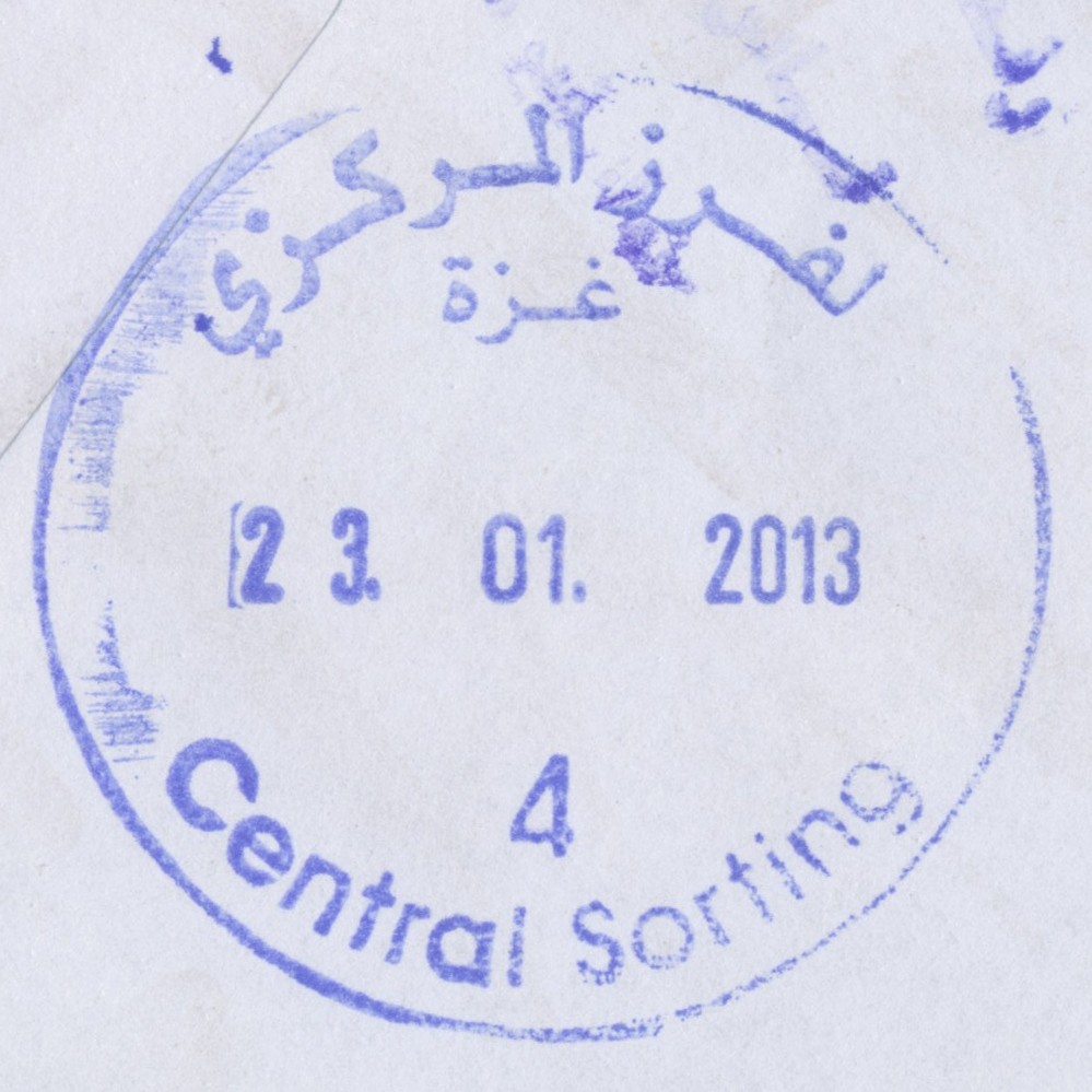
 Gaza, Central Sorting © OpenStreetMap contributors, CC-BY-SA") | Gaza, Central Sorting غزة - الفرزالمركزي Gaza, Central Sorting | Pop.: n/a Govern.: Gaz Opened: - Postcode: 860 | |||||||||
| 31°33' N, 34°27' E OpenStreetMap Google Maps Wikipedia | Central sorting facilty, situated in the Omar al-Mukhtar office. | ||||||||||
| |||||||||||
 gazacensort4_130123_0432")
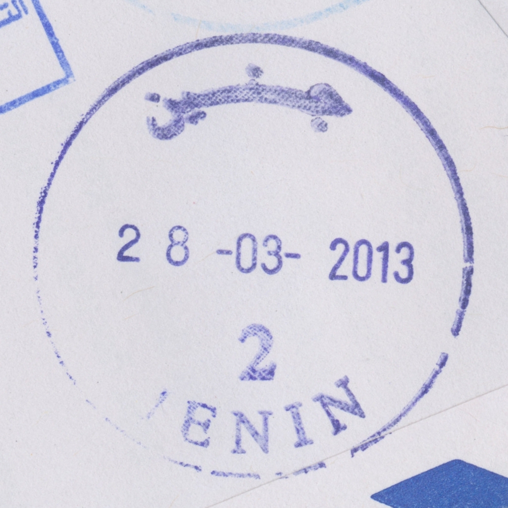
 Jenin © OpenStreetMap contributors, CC-BY-SA") | Jenin جنين Jenin | Pop.: 39,004 Govern.: Jen Opened: 1904 PO Number: 701 Postcode: 200 | |||||||||
| 32°28' N, 35°18' E OpenStreetMap Google Maps Wikipedia | City with adjacent refugee camp (established in 1953), muhfaza, with a population of 49,375 (39,004+10,371) according to the 2007 Census, whereas in 1997 it stood at 35,754 (26,650 + 9,104). The first PO was opened by Ottoman authorities in 1904. Jordanian authorities operated a post office (district main PO) from ### and also a postal agency existed in Jenin Camp from 21.08.1966. A post office under control of the Israeli military occupation forces existed from 17.07.1967. After renovation, the PO as reopened on 19.02.2013. | ||||||||||
| |||||||||||
 jenin2_130328_0430")
 Ramallah, Central Sorting © OpenStreetMap contributors, CC-BY-SA") | Ramallah, Central Sorting الفرز المركزي Ramallah, Central Sorting | Pop.: n/a Govern.: Ram Opened: 1997 PO Number: 101 Postcode: 600 | |||||||||
| 31°54' N, 35°13' E OpenStreetMap Google Maps Wikipedia | Central sorting facilty in the Directorate General, al-Muntazah street, in al-Bireh. | ||||||||||
| |||||||||||
 censort101pp_040913_0433")
| |||||||||||
") | |||||||||||
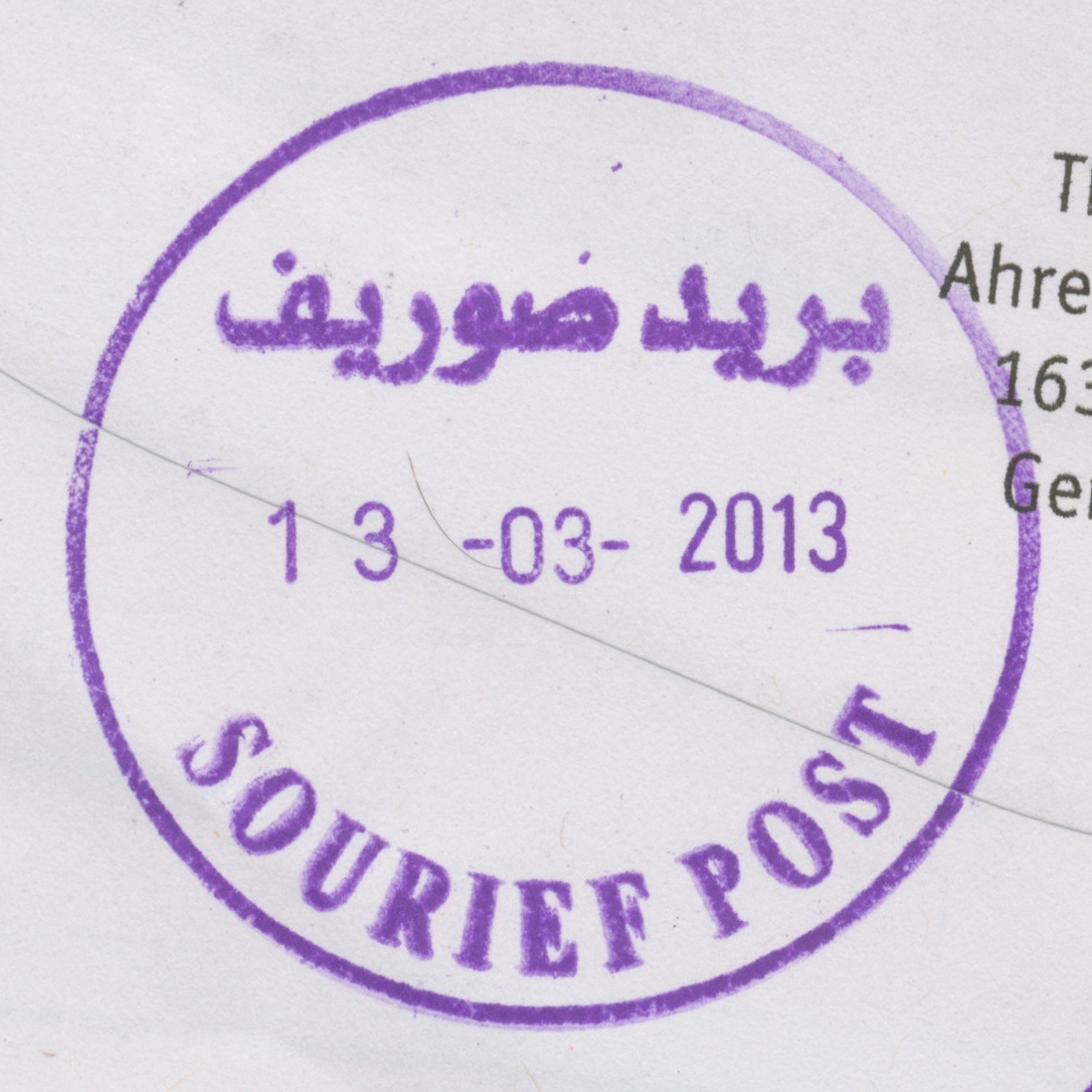
 Sourief © OpenStreetMap contributors, CC-BY-SA") | Sourief صوريف Sorif, Surif | Pop.: 13,365 Govern.: Heb Opened: 26.01.2003 PO Number: 411 Postcode: 748 | |||||||||
| 31°39' N, 35°04' E OpenStreetMap Google Maps Wikipedia | Municipality 13 km N of the muhfaza Hebron and 15 SW of Bethlehem. The town has a population that rose between 1997 and 2007 censuses from 9,649 to 13,365. The post office is in the culture centre E of al-Omari mosque. Offices in Beit Ula to the S and Beit Ummar to the E are geographically nearest to Sourief. Jordanian authorities operated a postal agency between 2.01.1963 and 3.06.1967. | ||||||||||
| |||||||||||
")
")
 sourief_130313_0428")
") ") | |||||||||||
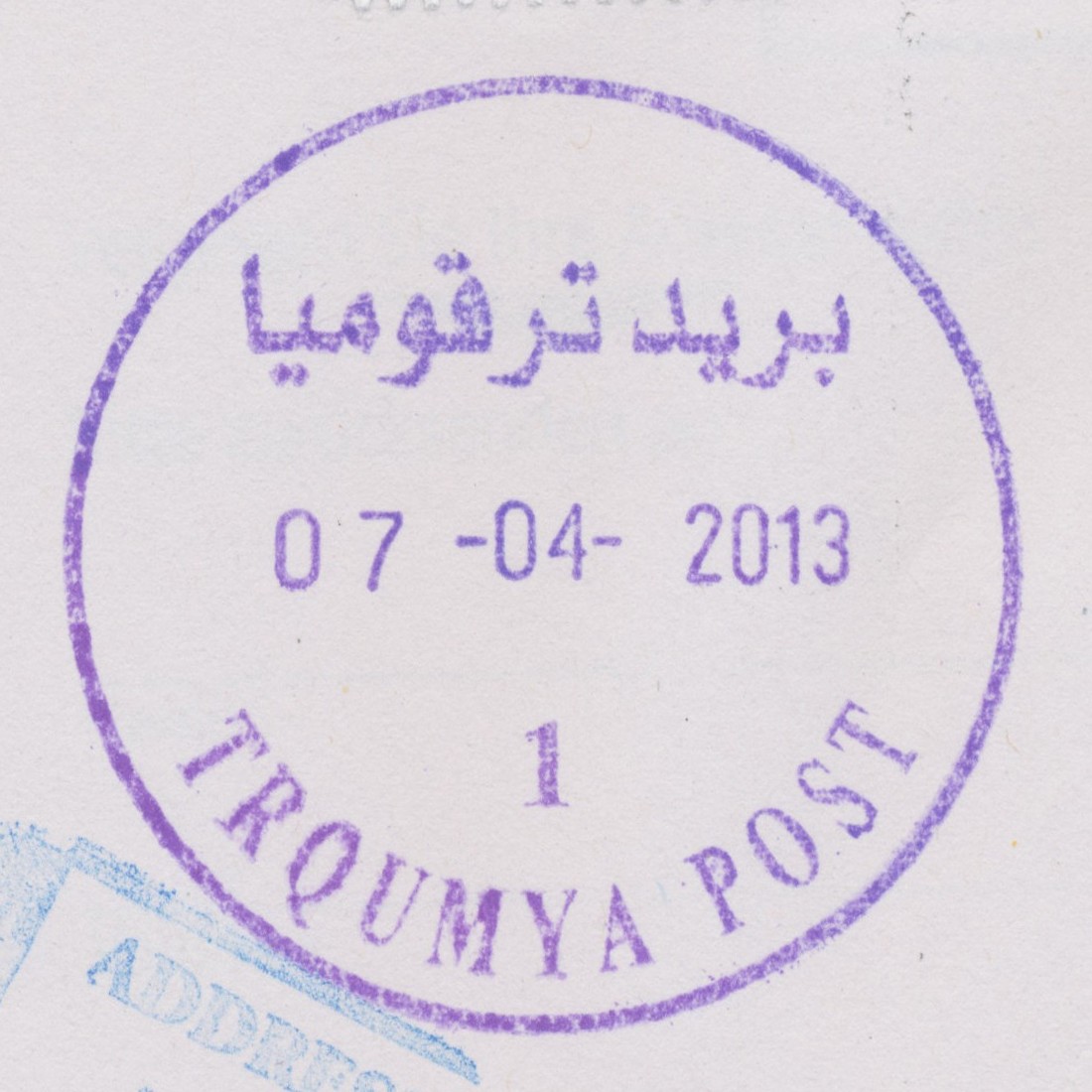
 Tarqumya © OpenStreetMap contributors, CC-BY-SA") | Tarqumya ترقوميا Tarqomia, Tarqumiya, Tarqumiyah, Trqumya | Pop.: 14,357 Govern.: Heb Opened: 19.07.1973 PO Number: 406 Postcode: 750 | |||||||||
| 31°34' N, 35°01' E OpenStreetMap Google Maps Wikipedia | Town in Hebron Governorate 10 km NW of the muhfaza. According to the 2007 Census there were 14,357 residents (1997: 10,565). Jordanian authorities operated a postal agency between 8.05.1963 (8.03.1962?) and 3.06.1967. An office was established by the Israeli military occupation forces on 19.07.1973. Neighbouring offices are in Beit Ula, Halhul, and Idhna. | ||||||||||
| |||||||||||
 tarqumyaP1_130407_0429")
") | |||||||||||
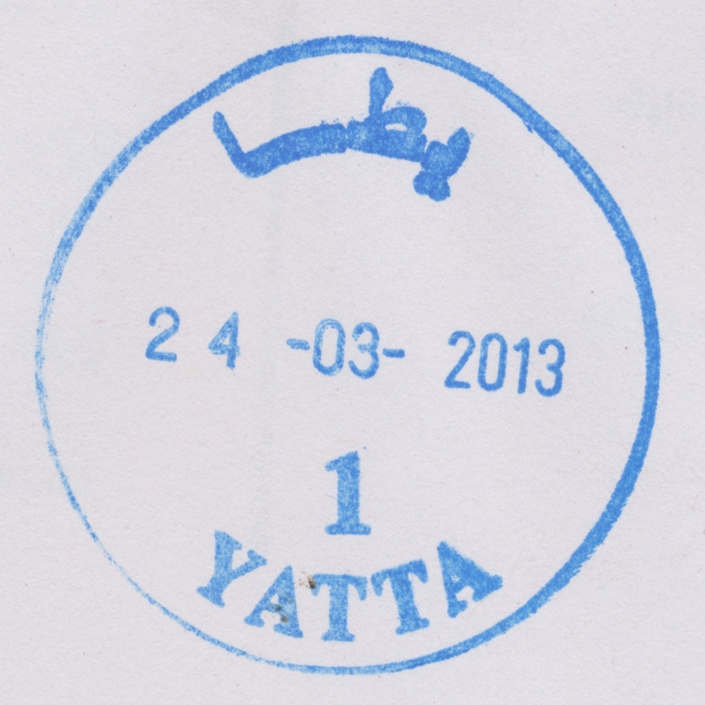
 Yatta © OpenStreetMap contributors, CC-BY-SA") | Yatta يطا Yatta, Yattah | Pop.: 48,672 Govern.: Heb Opened: 27.12.1962 PO Number: 405 Postcode: 780 | |||||||||
| 31°27' N, 35°05' E OpenStreetMap Google Maps Wikipedia | City about 9 km S of Hebron with a population of 48,672 (Census 2007, 1997: 30,761), the largest city in the Governorate after the muhfaza itself. Jordanian authorities operated a post office (upgraded from a postal agency on 23.08.1966) from 27.12.1962. . A post office under control of the Israeli military occupation forces existed from 5.11.1967. | ||||||||||
| |||||||||||
 yatta1_130324_0427")