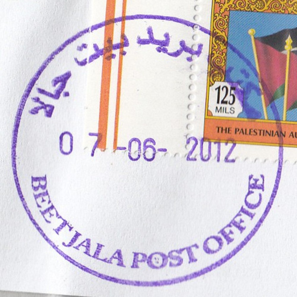
 Beit Jala © OpenStreetMap contributors, CC-BY-SA") | Beit Jala بيت جالا Beit Jala | Pop.: 11,758 Govern.: Bet Opened: 1910 PO Number: 502 Postcode: 160 | |||||||||
| 31°43' N, 35°11' E OpenStreetMap Google Maps Wikipedia | Largely christian town just NW of Bethlehem, about 10 km S of Jerusalem, with some 12,000 inhabitants (1997 Census: 11,957, 2007 Census: 11,758. Nearest other office is Bethlehem. An Egyptian office worked between 24.12.1948 and (?)## .Jordanian authorities operated a post office between 1949(?) and 5.06.1967. A post office under control of the Israeli military occupation forces existed from 23.08.1967. The PNA post office is on Tujjar street. | ||||||||||
| |||||||||||
 beetjalaPO_120607_0390")
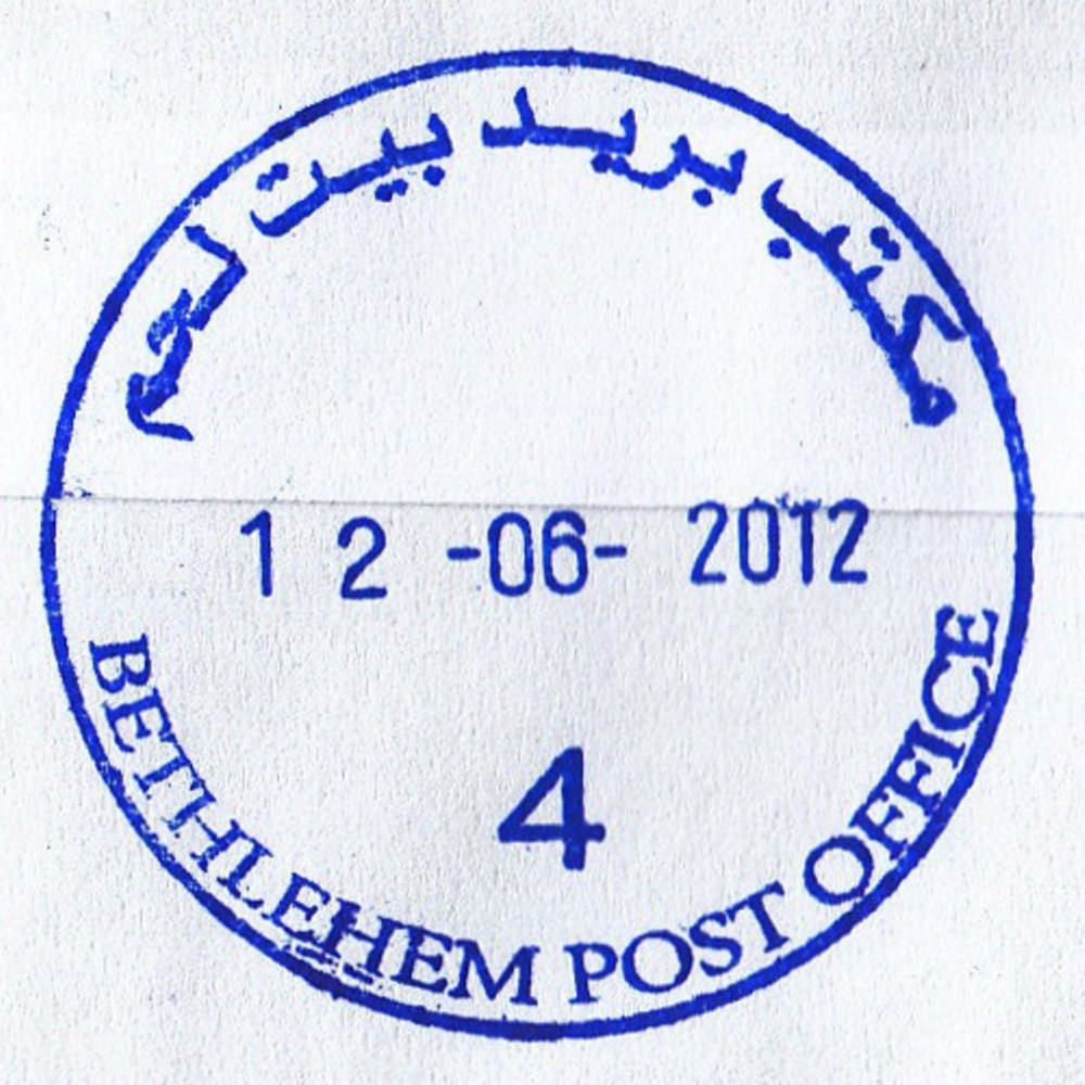
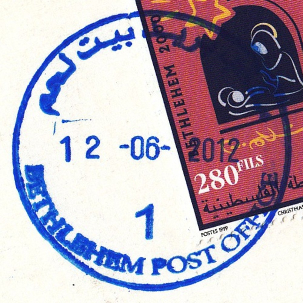
 Bethlehem © OpenStreetMap contributors, CC-BY-SA") | Bethlehem بيت لحم Beth Lehem, Beit Lahm | Pop.: 25,266 Govern.: Bet Opened: 1870 PO Number: 501 Postcode: 150 | |||||||||
| 31°42' N, 35°12' E OpenStreetMap Google Maps Wikipedia | Governorate capital with 25,266 inhabitants (Census 2007, 1997: 21,673) and a large Christian minority, dominated by tourism and trading. The post office is inbetween the municpal offices and Cairo-Amman Bank on the west side of Manger Square. The first post office in the city was opened by the Ottoaman authorities in 1870. An Egyptian office worked between 10.06.1948 and 11.10.1948. Jordanian authorities operated a post office (district main PO) between November 1948(exact date?) and 5.06.1967. A post office under control of the Israeli military occupation forces existed from 10.07.1967. | ||||||||||
| |||||||||||
| |||||||||||
| |||||||||||
 bethlPO2_120415_0387")
 bethlPO4_120612_0389")
 bethlPO1_120612_0391")
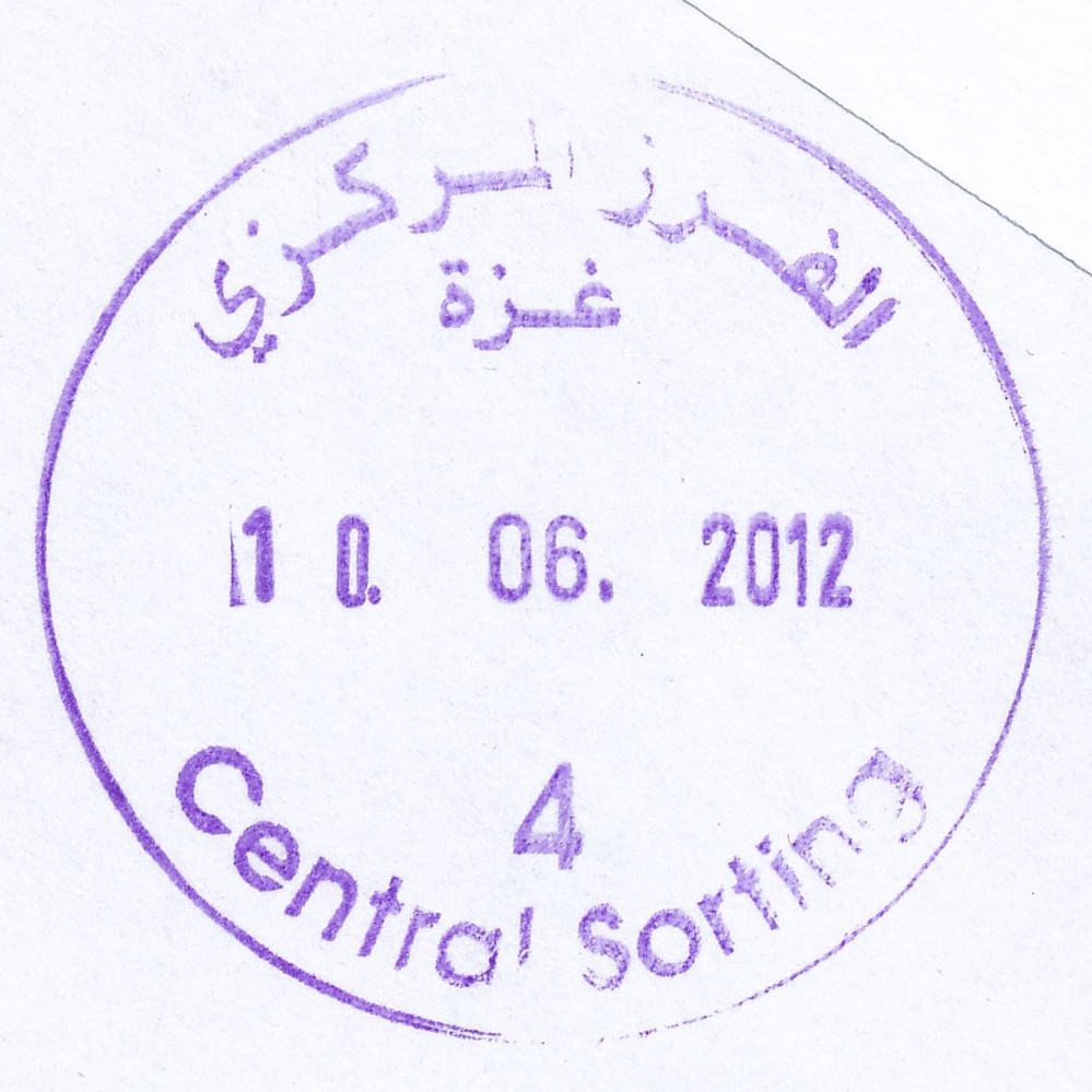
 Gaza, Central Sorting © OpenStreetMap contributors, CC-BY-SA") | Gaza, Central Sorting غزة - الفرزالمركزي Gaza, Central Sorting | Pop.: n/a Govern.: Gaz Opened: - Postcode: 860 | |||||||||
| 31°33' N, 34°27' E OpenStreetMap Google Maps Wikipedia | Central sorting facilty, situated in the Omar al-Mukhtar office. | ||||||||||
| |||||||||||
| |||||||||||
 gazacensort_110607_0386")
 gazacensort4_120610_0393")
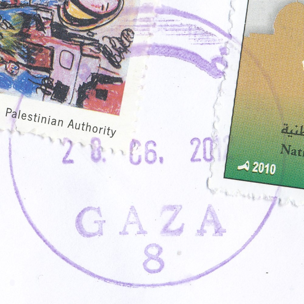
 Gaza, Omer El Mokhtar © OpenStreetMap contributors, CC-BY-SA") | Gaza, Omer El Mokhtar غزة - عمرالمختار Gaza, Omer El Mokhtar | Pop.: 409680 Govern.: Gaz Opened: 17.10.1996 Postcode: 850 | |||||||||
| 31°33' N, 34°27' E OpenStreetMap Google Maps Wikipedia | Governorate capital with a population of 409,680 (2006 mid-yearestimate). The first post office was opened in 1865 by the Ottoman authorities. A post office (New Gaza 5) under control of the Israeli military occupation forces existed from 9.04.1968. The city's main post office is in the MTIT building on Omar al-Mukhtar Street between Abu Khadra mosque and the municipal park. | ||||||||||
| |||||||||||
 gaza8_120628_0394")
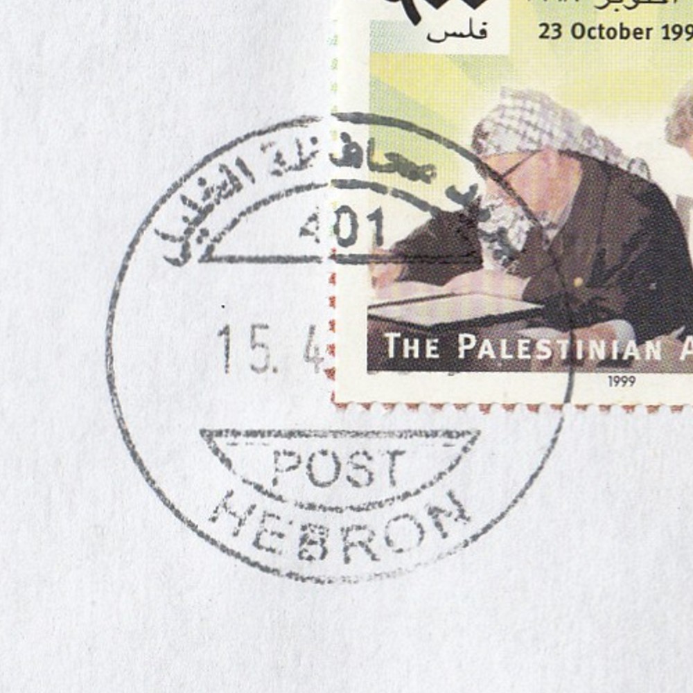
 Hebron © OpenStreetMap contributors, CC-BY-SA") | Hebron الخليل Hebron (Al Khalil) | Pop.: 163,146 Govern.: Heb Opened: 2005 PO Number: 401 Postcode: 706 | |||||||||
| 31°32' N, 35°06' E OpenStreetMap Google Maps Wikipedia | Major city and muhfaza. Population rose between 1997 and 2007 censuses from 119,093 to 163,146. The town's first post office was opened in 1870 under Ottoman control. Under Egyptian control, an office existed from 27.09.1948 to 23.02.1949. Jordanian authorities operated a post office (district main PO) between 23.06.1949 and 5.06.1967. A post office under control of the Israeli military occupation forces existed from 9.07.1967. The current PNA office is on Malik al-Faisal street | ||||||||||
| |||||||||||
 Hebron401_120415_0388")
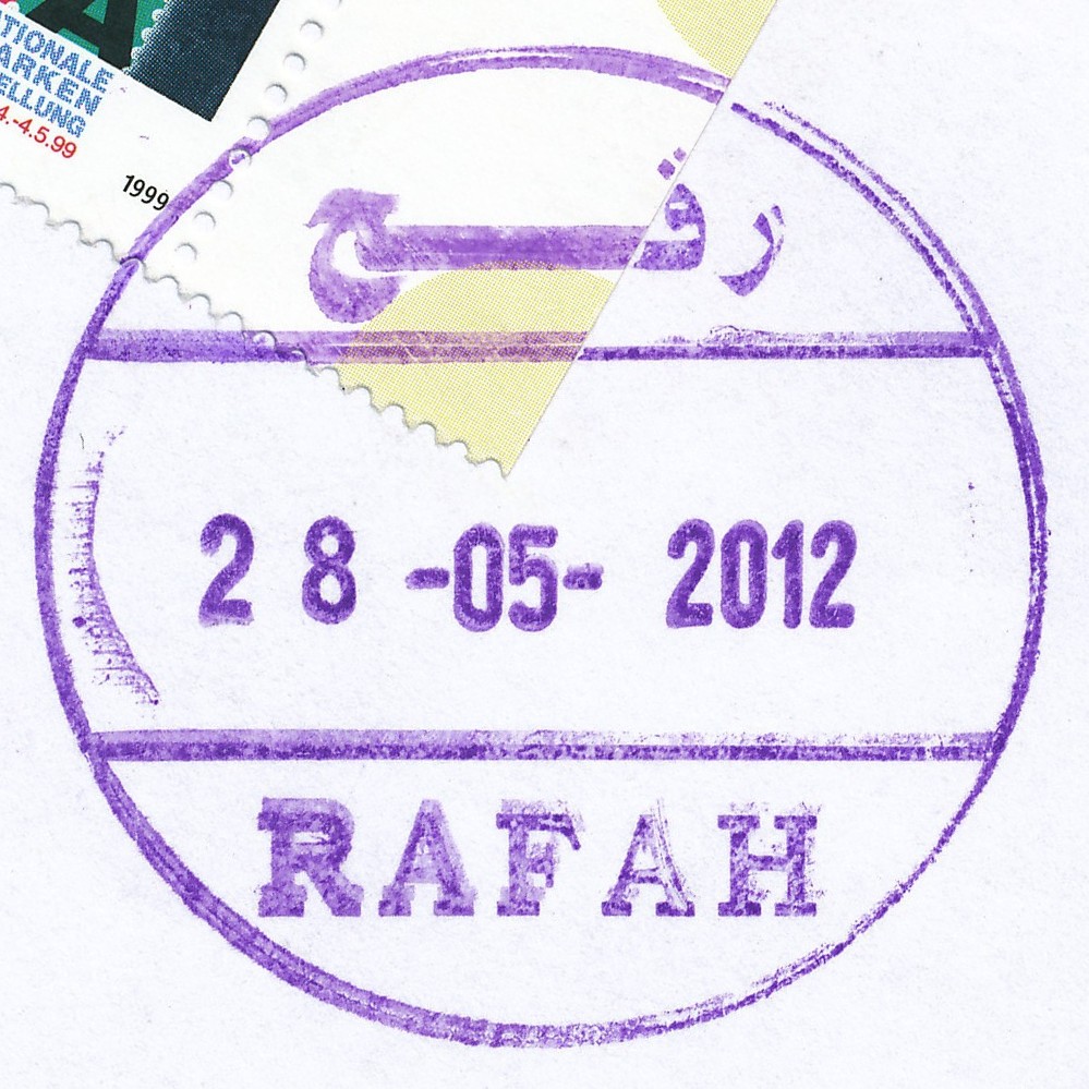
 Rafah © OpenStreetMap contributors, CC-BY-SA") | Rafah رفح Rafah | Pop.: 71,003 Govern.: Raf Opened: 1948 Postcode: 980 | |||||||||
| 31°16' N, 34°16' E OpenStreetMap Google Maps Wikipedia | Governorate capital, the city itself has a population of 71,003, with Rafah camp adding a further 59,983 (2006 PCBS estimates, both aggregated: 130,986, 1997 Census: 91,931). The post office is situated on Omar bin al-Khataab street between al-Masri tower and city hall. An Egyptian office operated here from 1948--1967. A post office under control of the Israeli military occupation forces existed from 23.07.1967. | ||||||||||
| |||||||||||
 rafah_120528_0392")
| Al Aizariya Al Aizaria, El-Eizariya, Al 'Eizariya | Population: 17,606 | ||||||||||
| Jer | |||||||||||
| |||||||||||
| |||||||||||
 aizarya_RRR102002063PS")
 aizarya_RRR102002065PS")
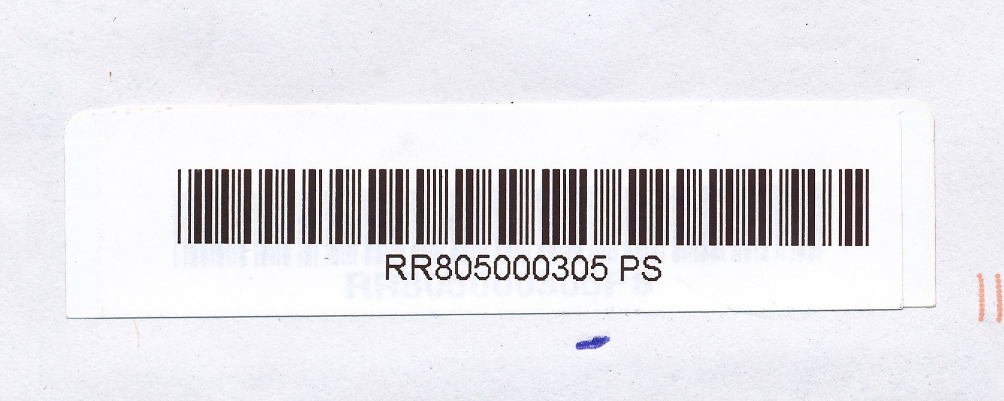
| Attil Atil | Population: 9,038 | ||||||||||
| Tul | |||||||||||
| |||||||||||
 attil_RRR805000305PS-d4")
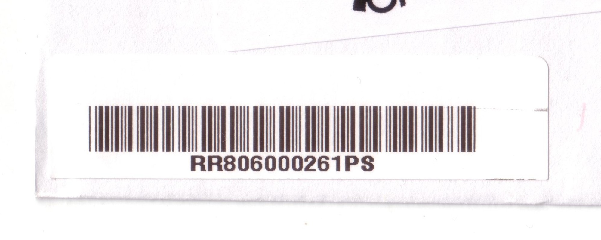
| Azun Azzon, Azzun | Population: 7,821 | ||||||||||
| Qal | |||||||||||
| |||||||||||
 azun_RRR806000261PS")
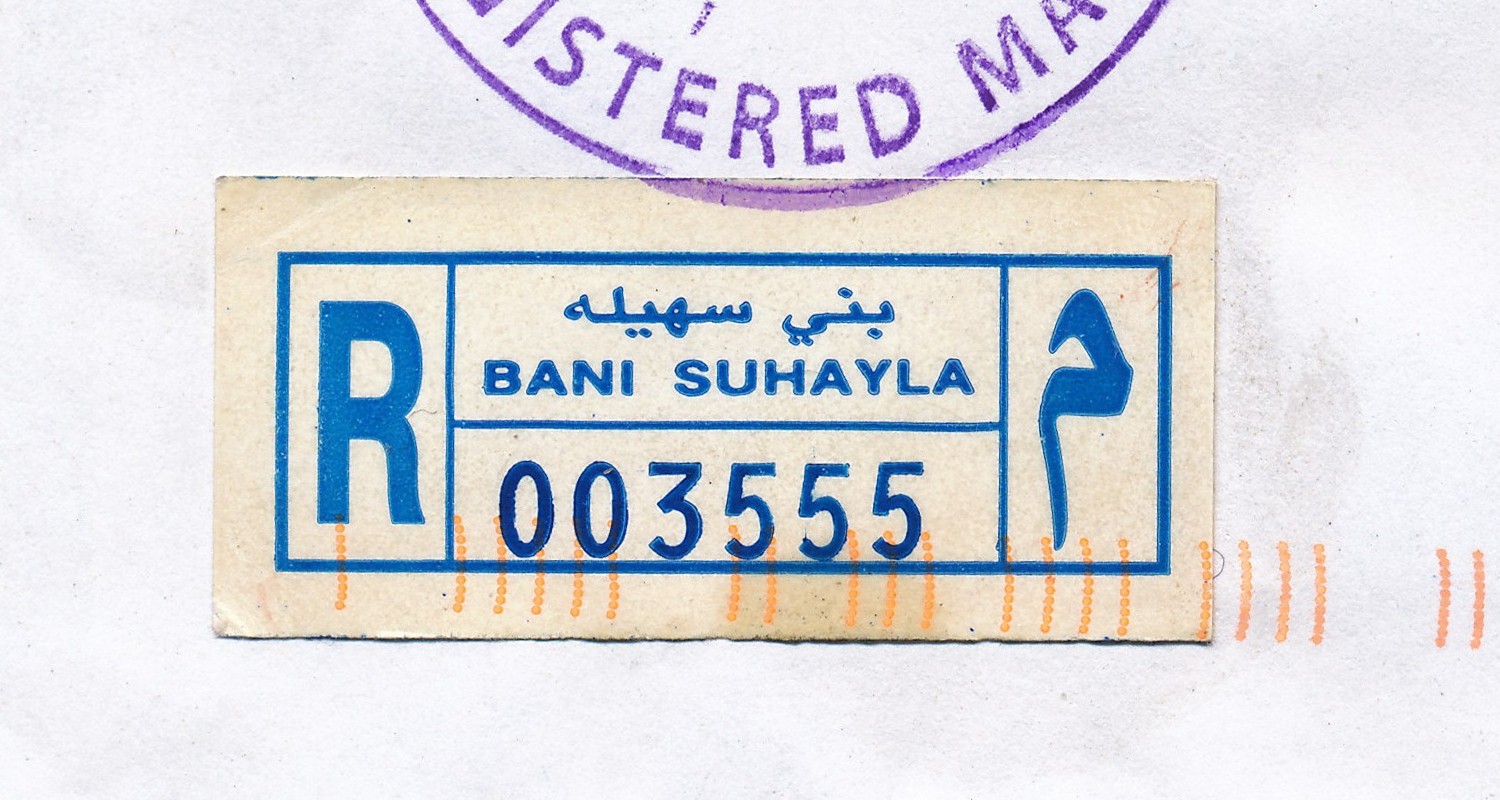
| Bani Naim Bani Naem, Bani Na'im, Bani Na'eem | Population: 20,084 | ||||||||||
| Heb | |||||||||||
| |||||||||||
| |||||||||||
 baninaim_RRR408000665PS")
 banisuhayla_Rx_20120529")
 banisuhayla_R003555")
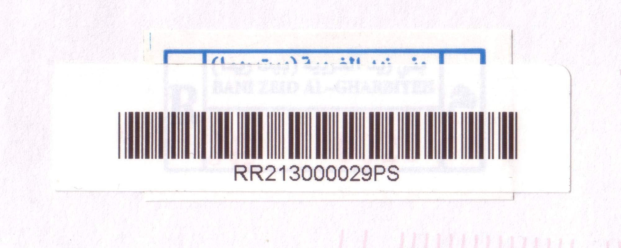
| Bani Zaid Babi Zaed, Bani Zeid, Bani Zeid al-Gharbiyeh (Beit Rima) | Population: 5,515 | ||||||||||
| Ram | |||||||||||
| |||||||||||
| |||||||||||
 banizaid_RRR213000029PS")
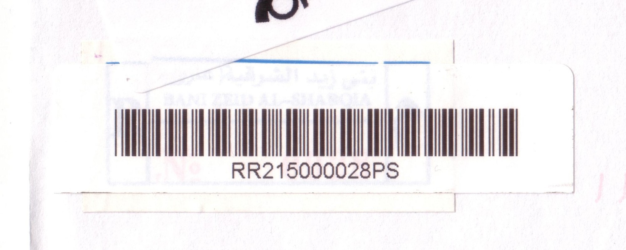
| Bani Zeid ash Sharqiya Bani Zeid al-Sharqiya | Population: 5,083 | ||||||||||
| Ram | |||||||||||
| |||||||||||
| |||||||||||
 banizeidAS_RRR215000028PS")
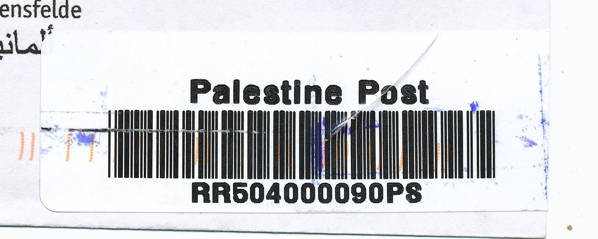
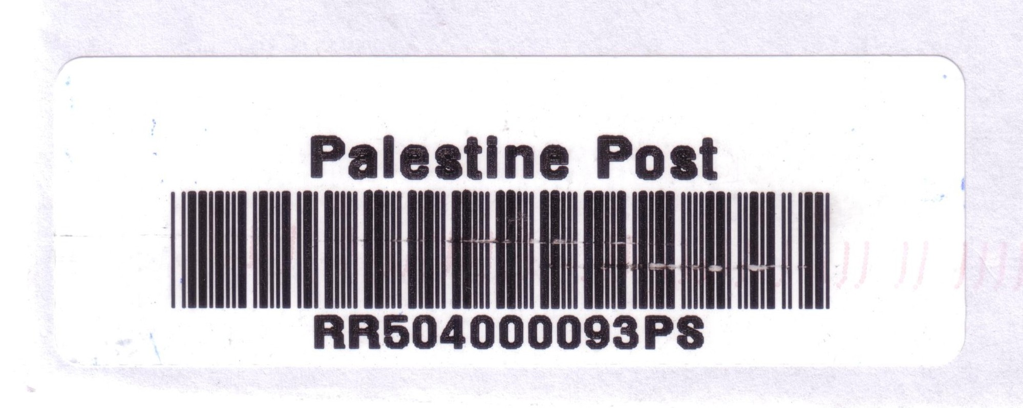
| Beit 'Awwa Beit Awa, Beit Awwa | Population: 8,064 | ||||||||||
| Heb | |||||||||||
| |||||||||||
| |||||||||||
 beitawwa_RRR504000090PS")
 beitawwa_RRR504000093PS")
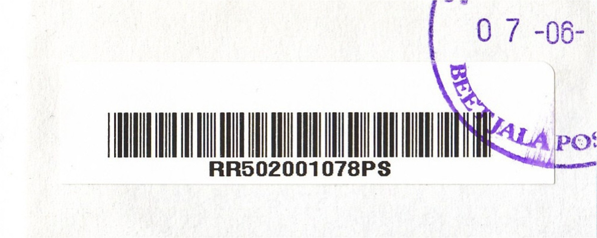
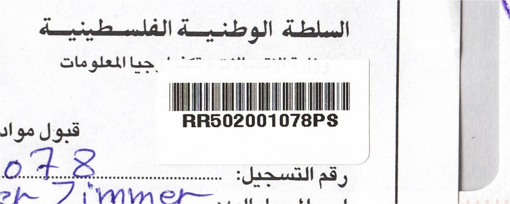
| Beit Jala Beit Jala | Population: 11,758 | ||||||||||
| Bet | |||||||||||
| |||||||||||
| |||||||||||
 beitjala_RRR502001078PS")
 beitjala_RRR502001078PS-R")
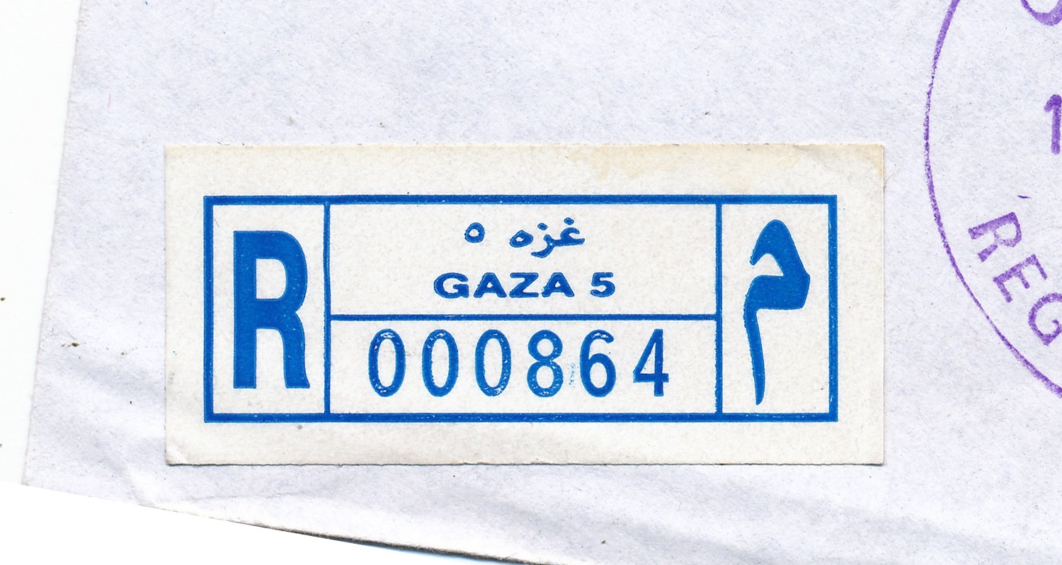
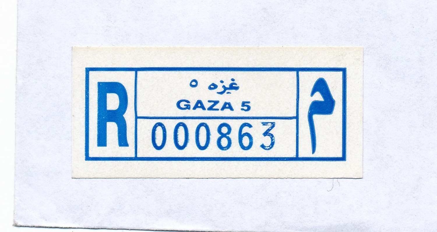
| Beit Lahia Beit Lahya, Beit Lahiya | Population: 59,540 | ||||||||||
| Gzn | |||||||||||
| |||||||||||
 gaza5_R000864")
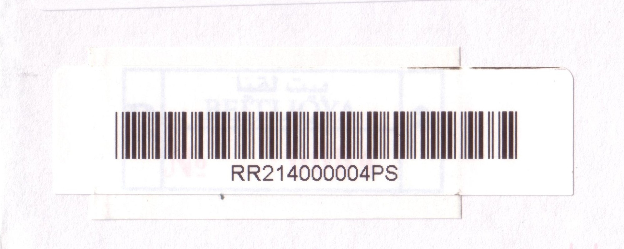
| Beit Liqya Beit Liqya | Population: 7,710 | ||||||||||
| Ram | |||||||||||
| |||||||||||
| |||||||||||
 beitliqya_RRR214000004PS")
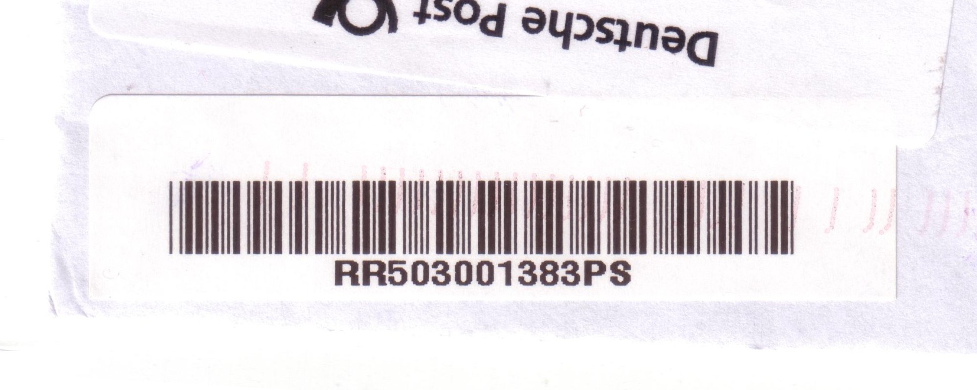
| Beit Sahur Beit Sahoor | Population: 12,367 | ||||||||||
| Bet | |||||||||||
| |||||||||||
 beitsahur_RRR503001383PS")
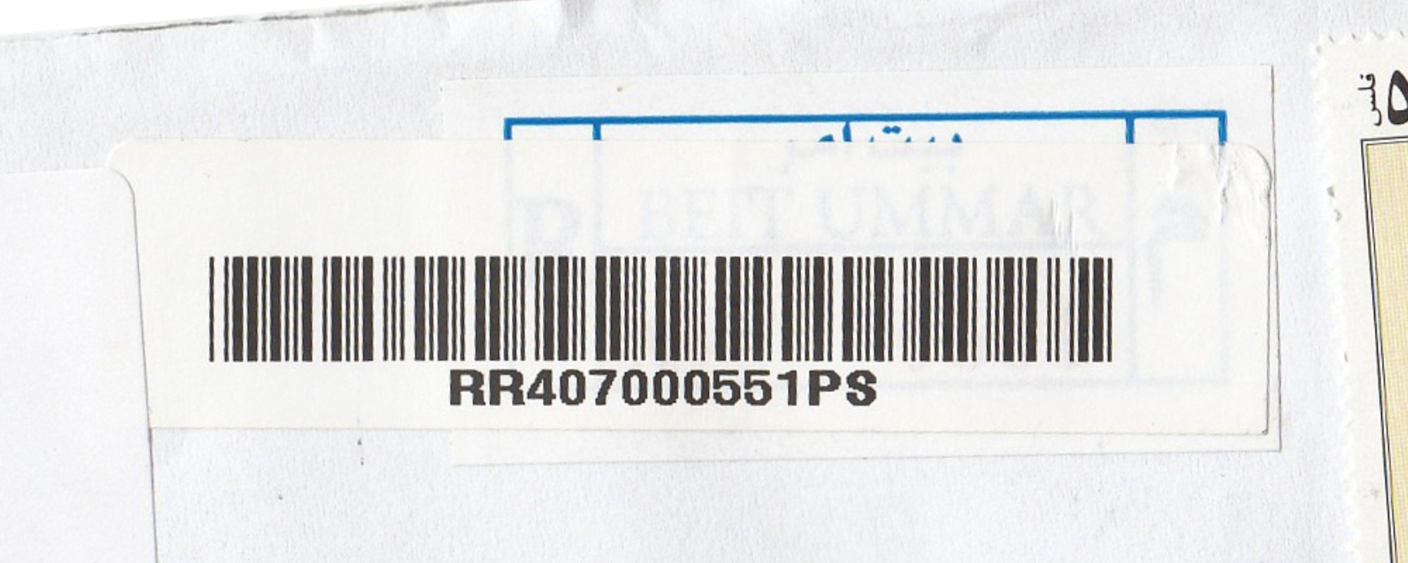
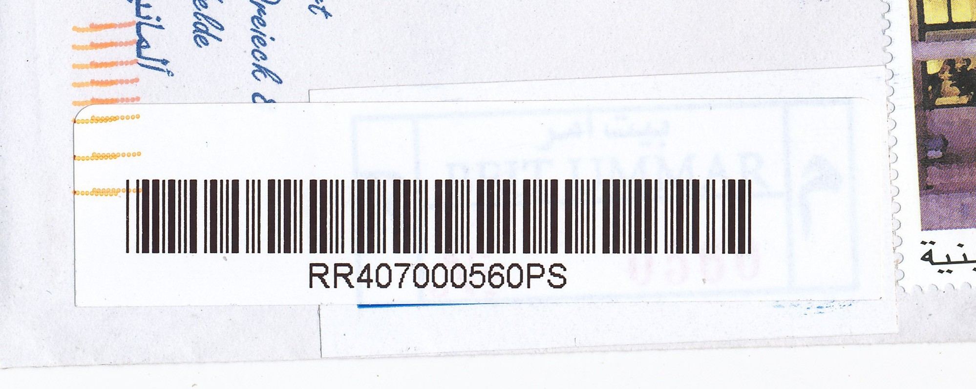
| Beit Ummar Beit Ommer | Population: 13,548 | ||||||||||
| Heb | |||||||||||
| |||||||||||
| |||||||||||
| |||||||||||
| |||||||||||
 beitummar_RRR407000551PS")
 beitummar_RRR407000560PS")
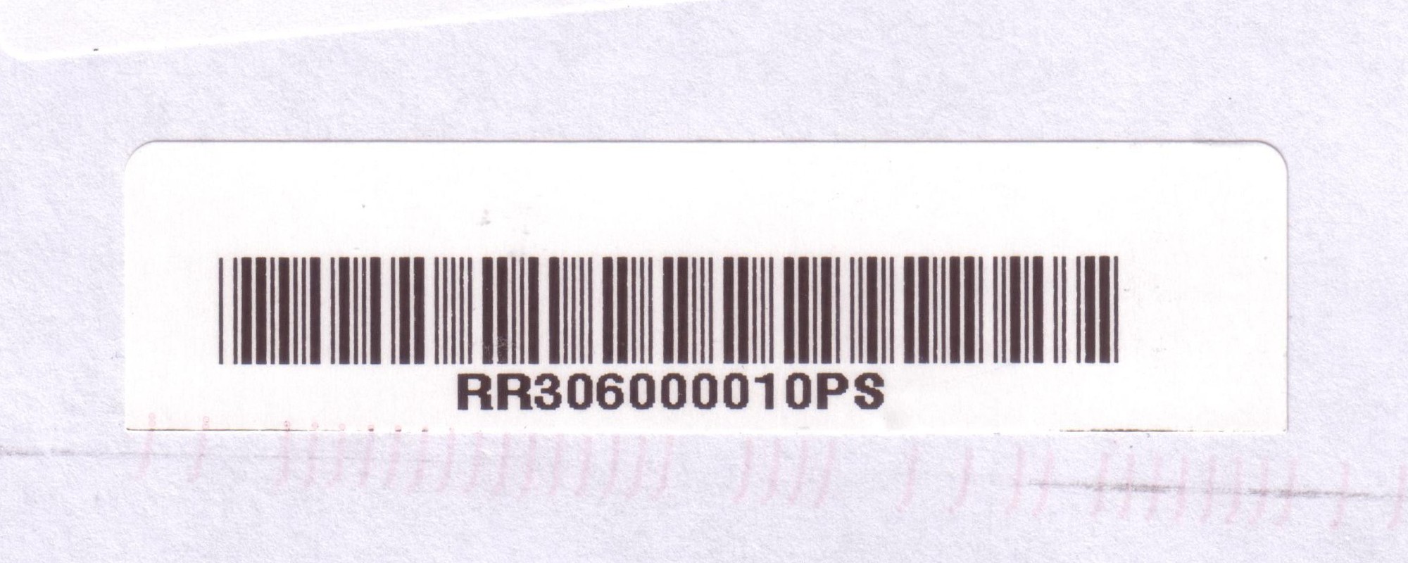
| Beit Umrin Beit Amraen, Beit Imrin | Population: 2,821 | ||||||||||
| Nab | |||||||||||
| |||||||||||
 beitimrin_RRR306000010PS")
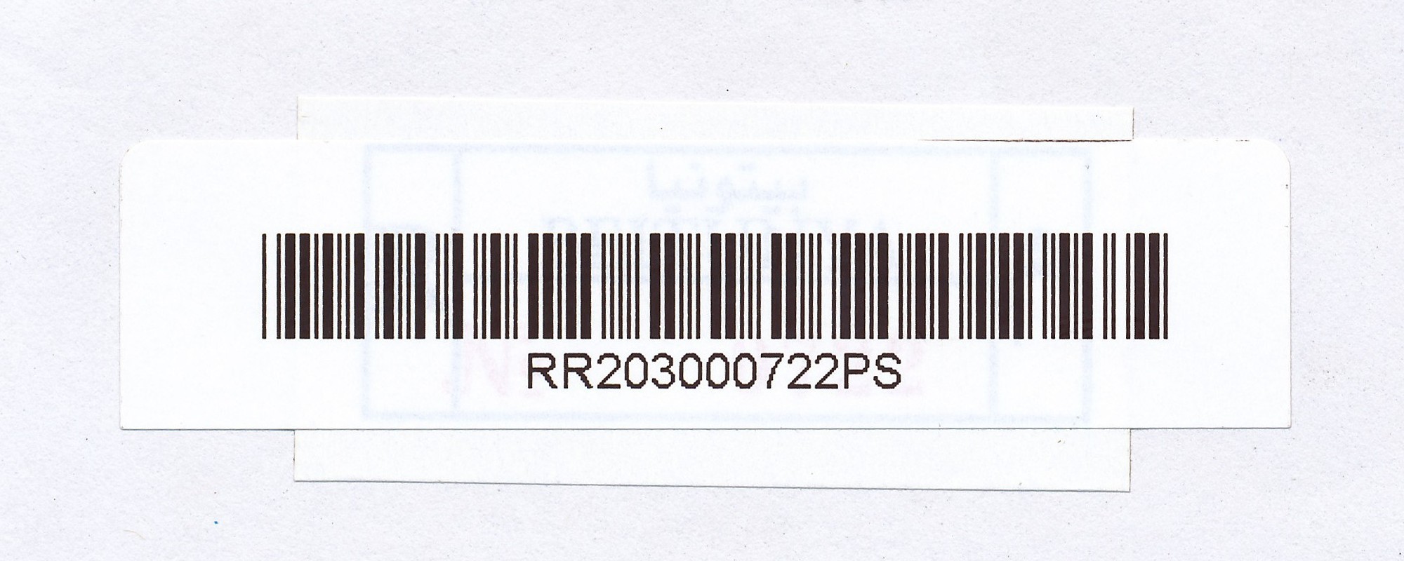
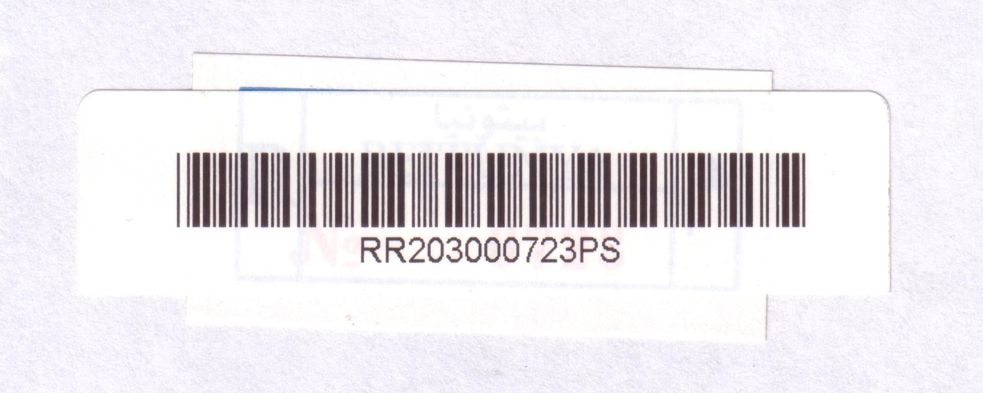
| Beitunya Betonia, Beituniya | Population: 19,761 | ||||||||||
| Ram | |||||||||||
| |||||||||||
| |||||||||||
| |||||||||||
| |||||||||||
 beitunya_RRR203000722PS")
 beitunya_RRR203000723PS")
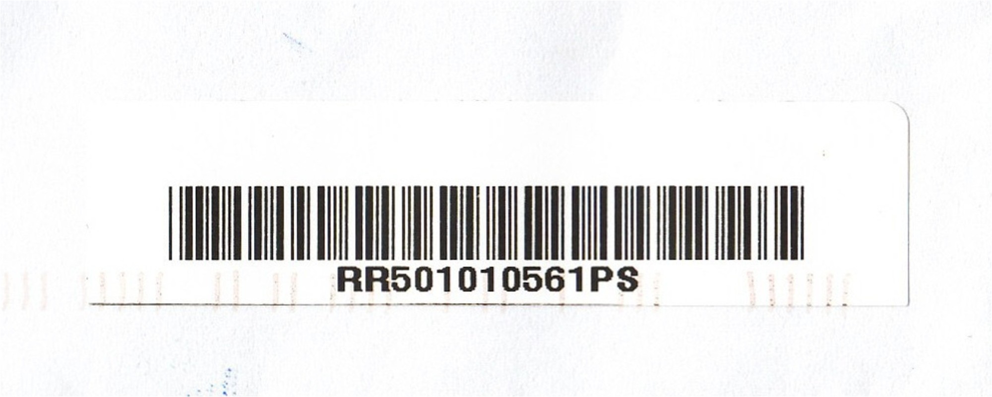
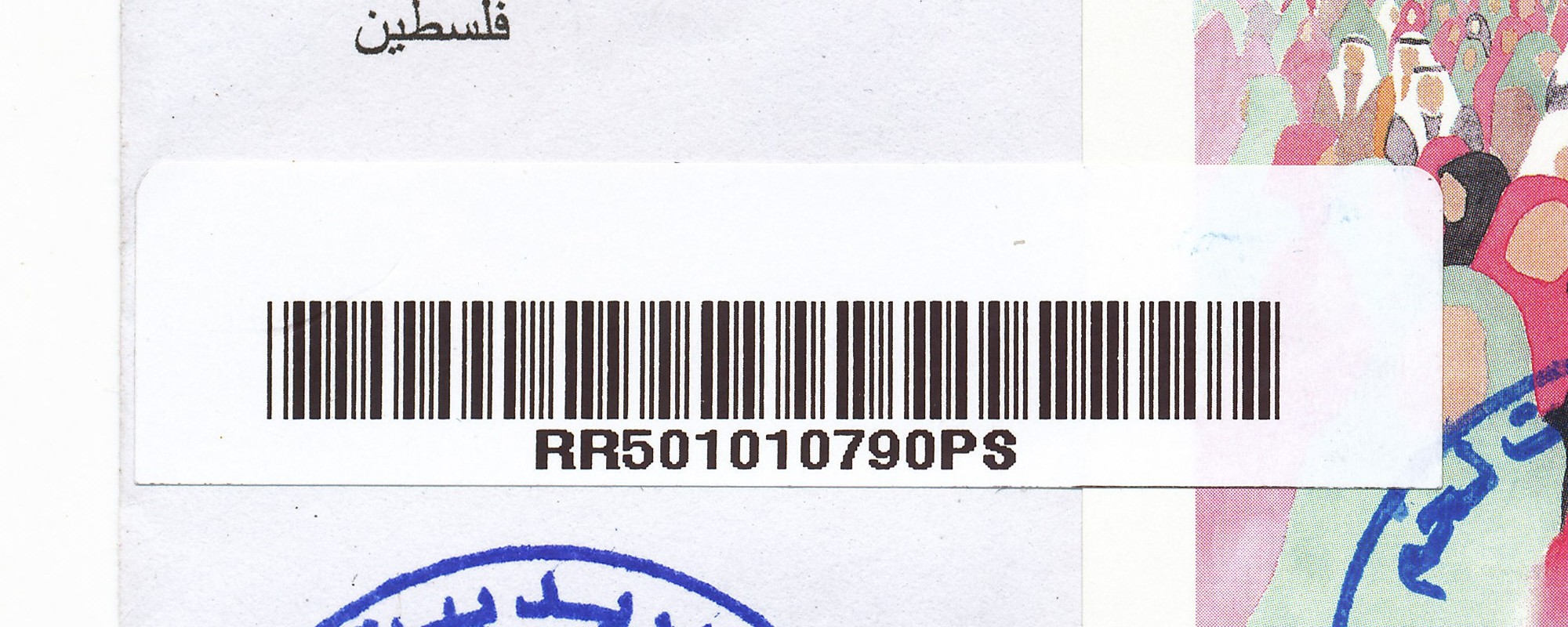
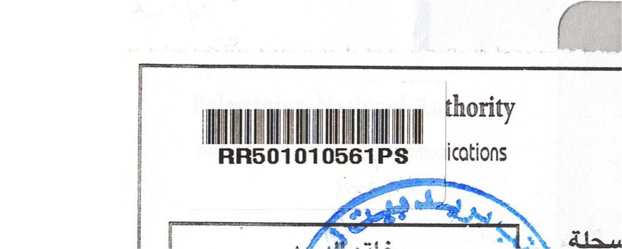
| Bethlehem Beth Lehem, Beit Lahm | Population: 25,266 | ||||||||||
| Bet | |||||||||||
| |||||||||||
| |||||||||||
| |||||||||||
 bethlehem_RRR501010561PS")
 bethlehem_RRR501010790PS")
 bethlehem_RRR501010561PS-R")
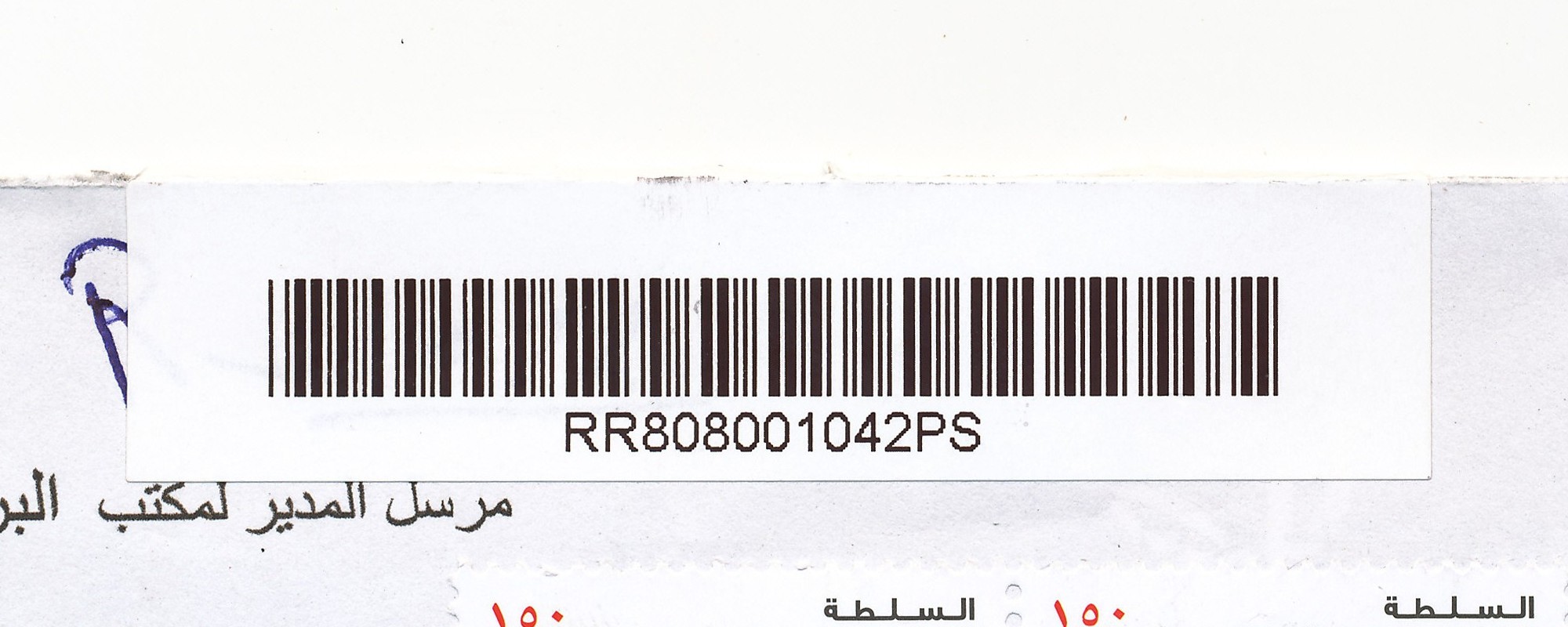
| Bidya Bedia, Biddya | Population: 8,064 | ||||||||||
| Sal | |||||||||||
| |||||||||||
| |||||||||||
 bidya_RRR808001042PS")
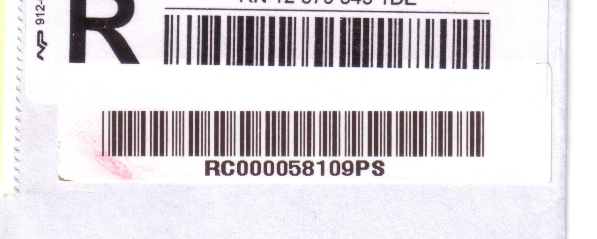
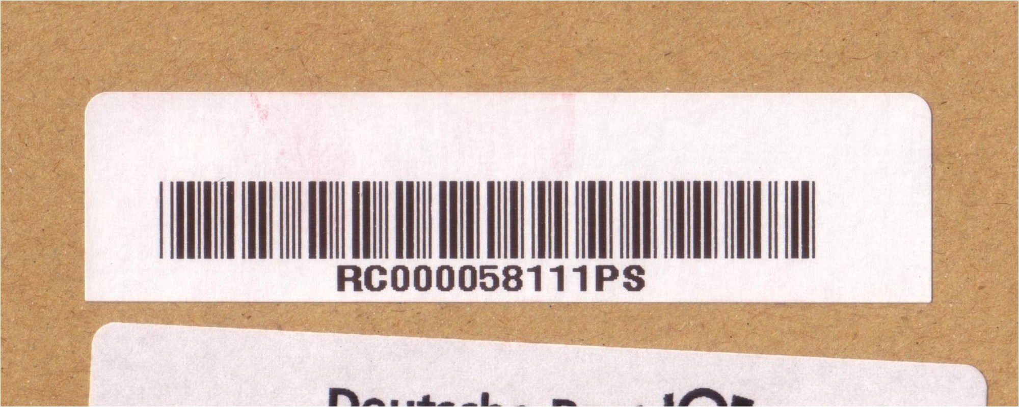
| Al Bireh Al Biera, Al Bira, El Bira | Population: 38,202 | ||||||||||
| Ram | |||||||||||
| |||||||||||
| |||||||||||
| |||||||||||
| |||||||||||
| |||||||||||
| |||||||||||
| |||||||||||
| |||||||||||
| |||||||||||
| |||||||||||
| |||||||||||
 bireh_RRC000058109PS")
 bireh_RRC000058110PS")
 bireh_RRC000058111PS")
 bireh_RRC000058112PS")
 bireh_RRC000058113PS")
 bireh_RRC000058114PS")
 bireh_RRC000058115PS")
 bireh_RRC000058116PS")
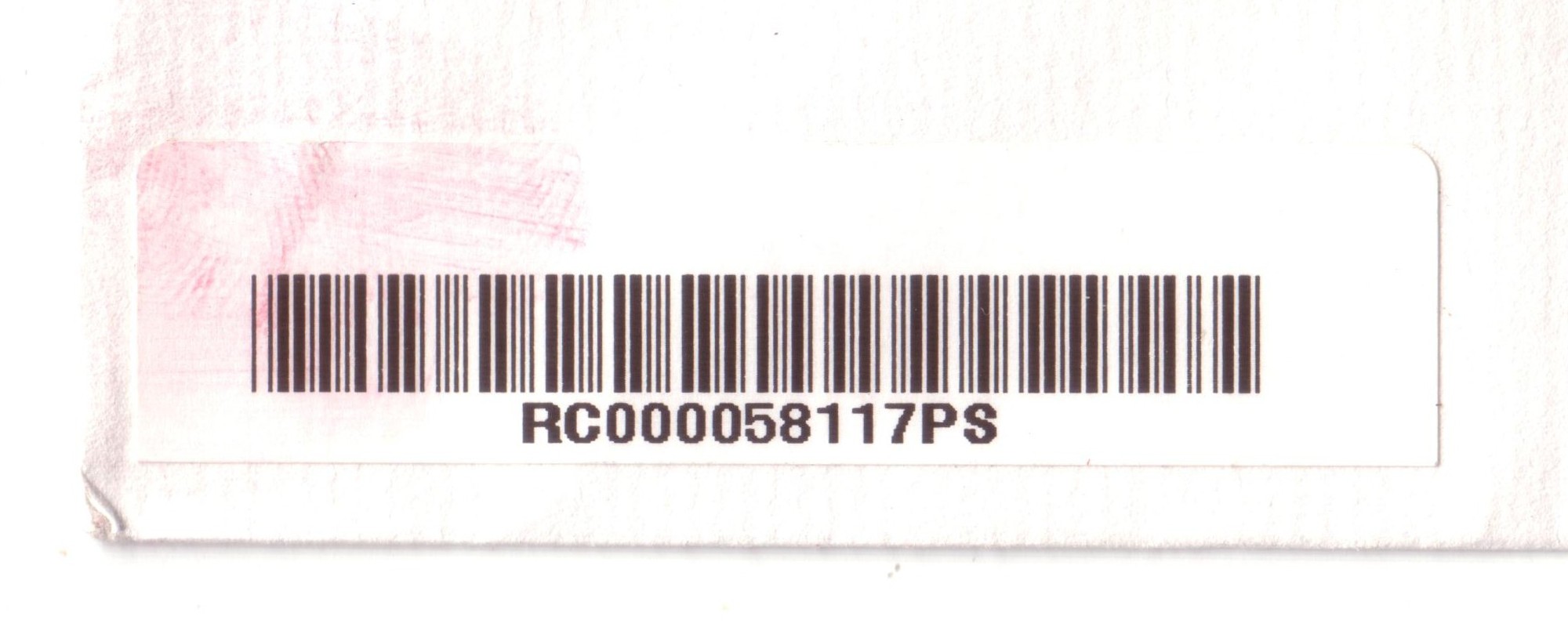
 bireh_RRC000058117PS")
 bireh_RRR202008945PS")
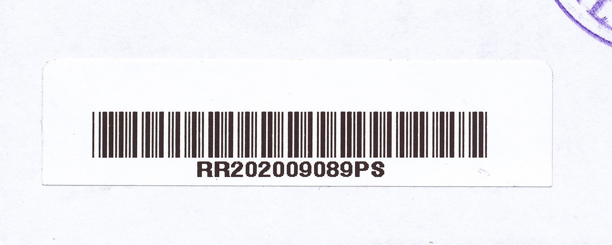
 bireh_RRR202009089PS")
| Bir Zeit Beir Zate | Population: 4,529 | ||||||||||
| Ram | |||||||||||
| |||||||||||
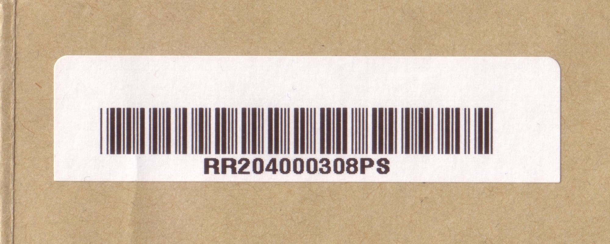
 birzeit_RRR204000308PS")
| Bruqin Bruqin | Population: 3,236 | ||||||||||
| Sal | |||||||||||
| |||||||||||
| |||||||||||
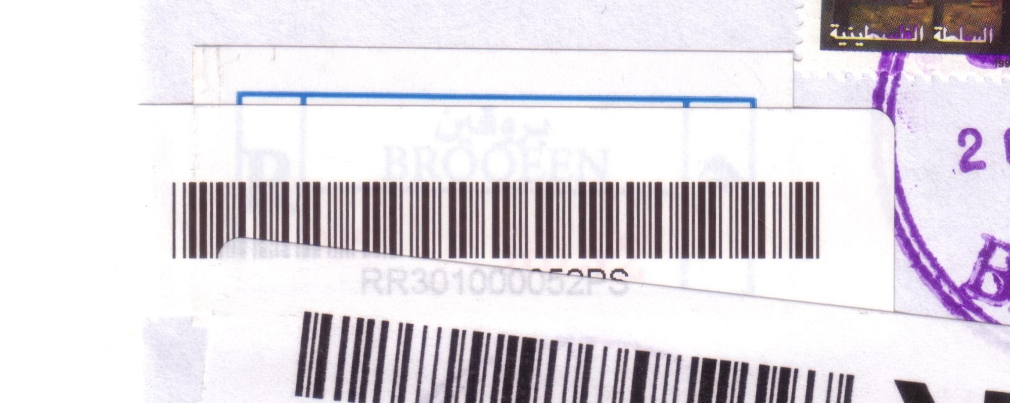
 broqeen_RRR301000052PS")
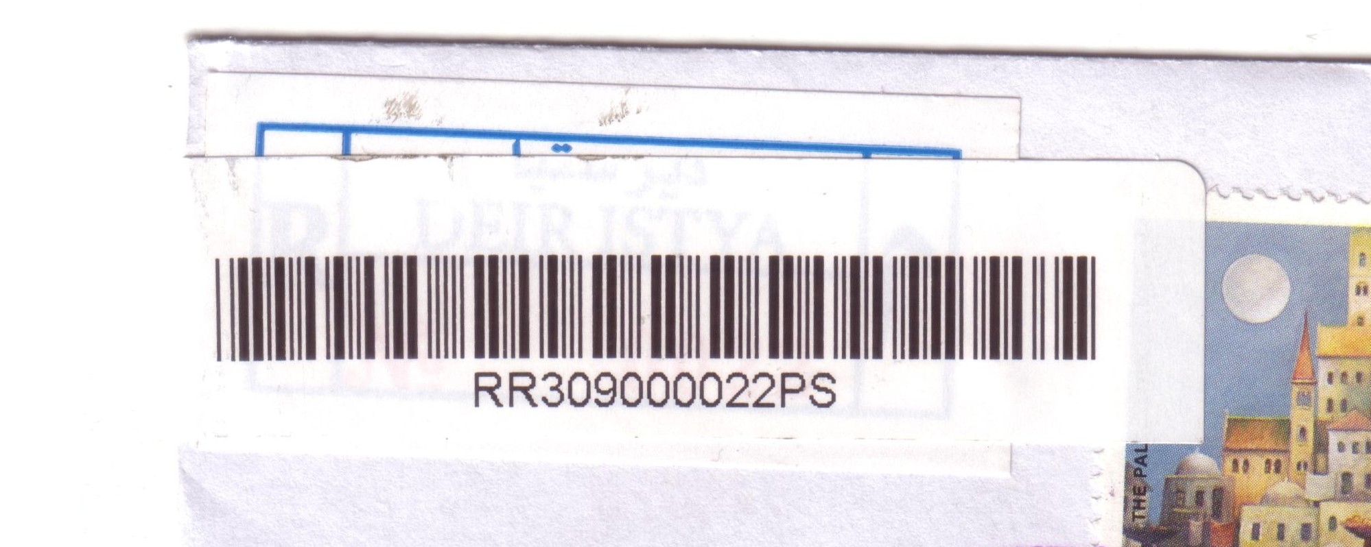
| Deir Istiya Deir Istiya | Population: 3,146 | ||||||||||
| Sal | |||||||||||
| |||||||||||
| |||||||||||
 deiristiya_RRR309000022PS")
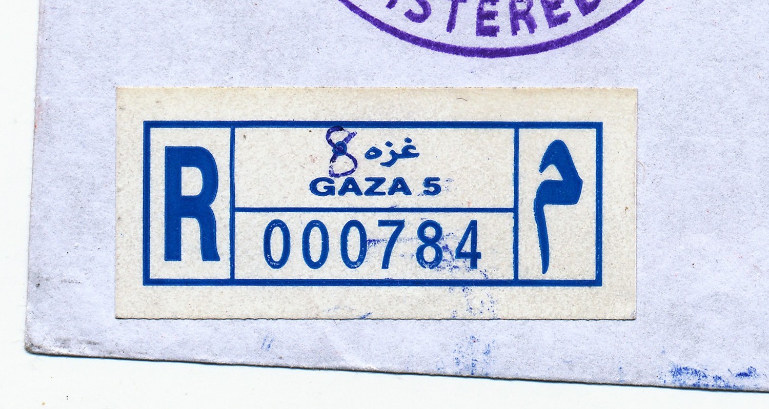
| Gaza, Omer El Mokhtar Gaza, Omer El Mokhtar | Population: n/a | ||||||||||
| Gaz | |||||||||||
| |||||||||||
 gaza8_R000784")
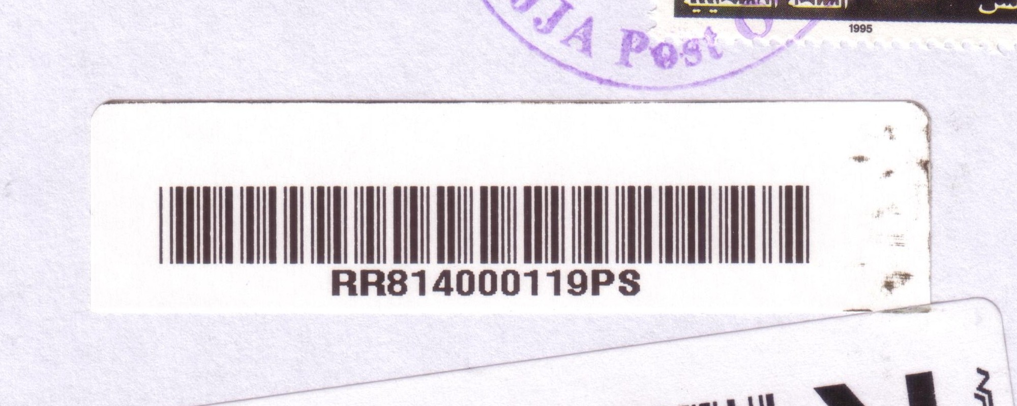
| Hajja Hajja | Population: 2,148 | ||||||||||
| Qal | |||||||||||
| |||||||||||
 hajja_RRR814000119PS")
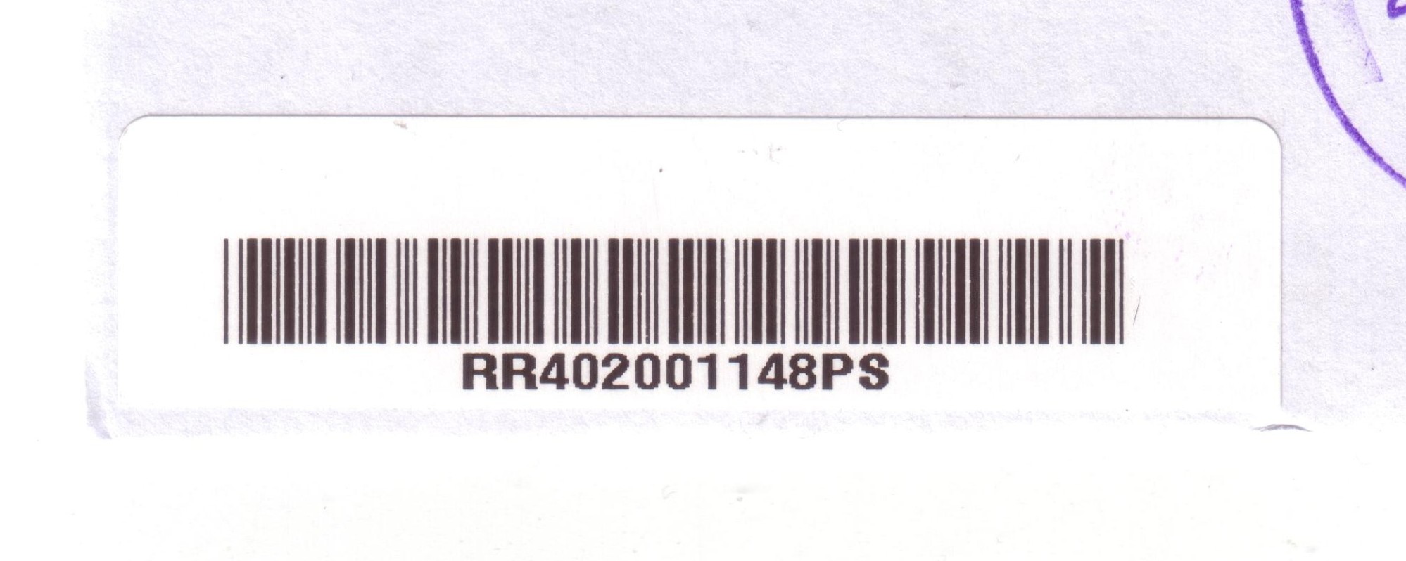
| Halhul Halhol | Population: 22,128 | ||||||||||
| Heb | |||||||||||
| |||||||||||
 halhul_RRR402001148PS")
| Hebron Hebron (Al Khalil) | Population: 163,146 | ||||||||||
| Heb | |||||||||||
| |||||||||||
 hebron_RRR401017687PS")
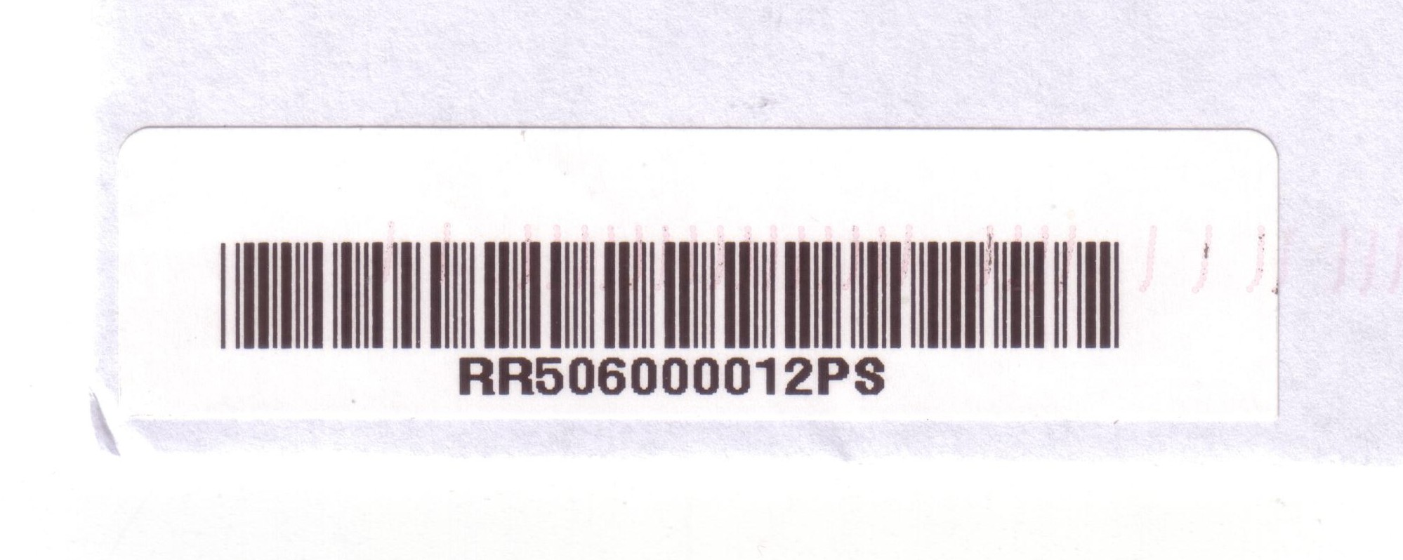
| Husan Husan | Population: 5,551 | ||||||||||
| Bet | |||||||||||
| |||||||||||
 husan_RRR506000012PS")
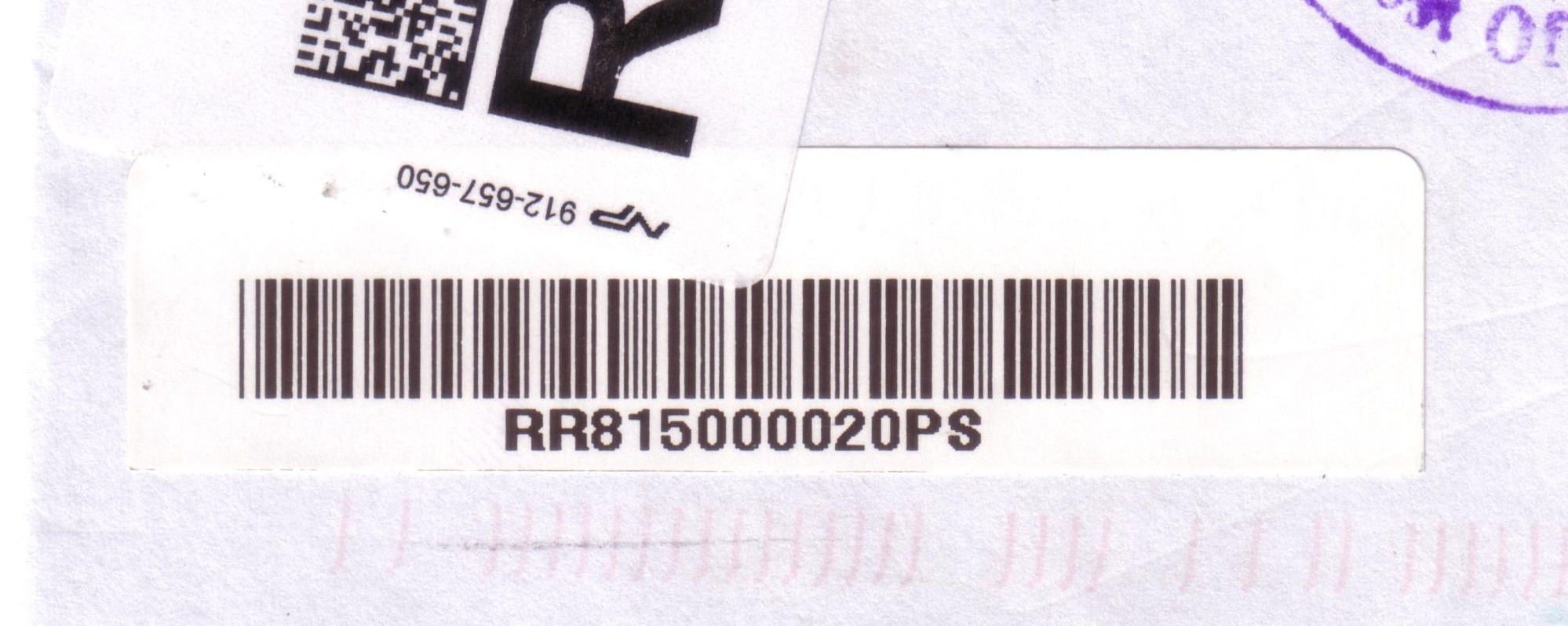
| Illar Illar | Population: 6,190 | ||||||||||
| Tul | |||||||||||
| |||||||||||
 illar_RRR815000020PS")
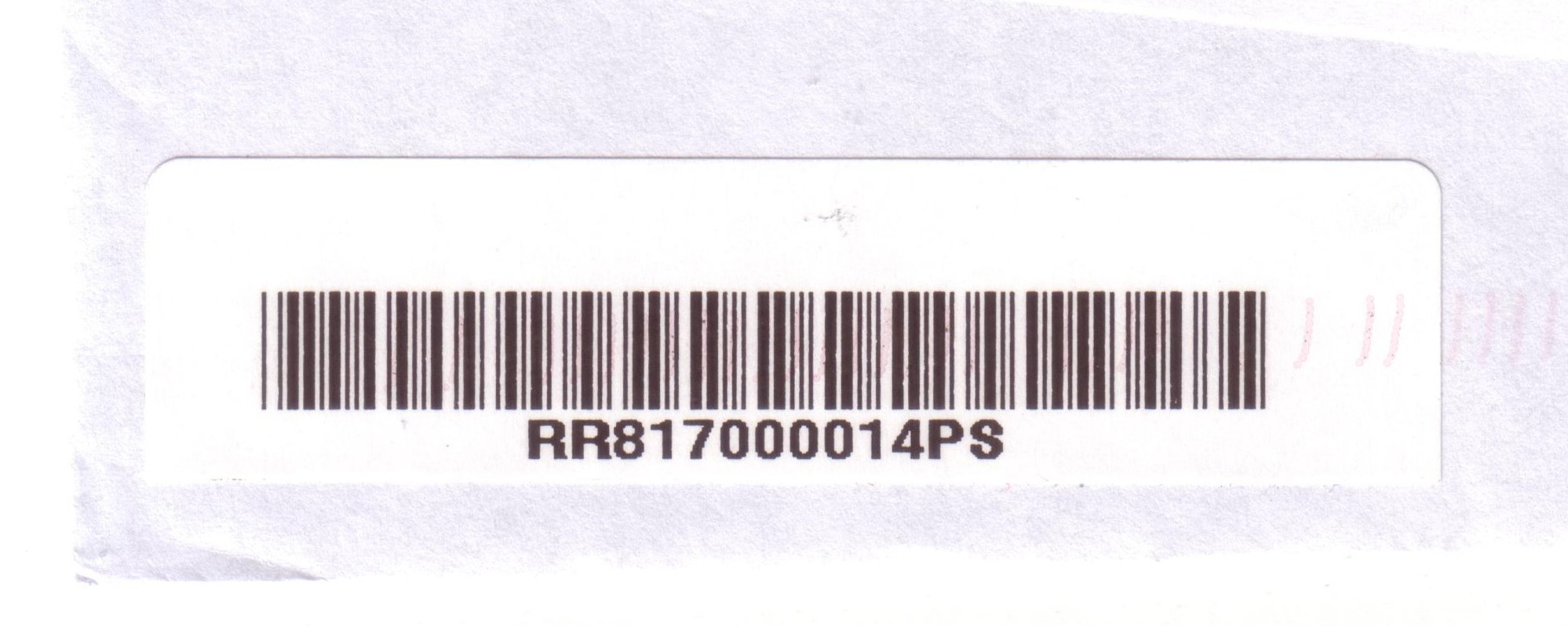
| Al Kafreyat Alkafreyat, Al-Kafreyat (Kafr Sur, Kafr 'Abbush, Kafr Zibad, Kafr Jammal, Kur, Ar Ras, Khirbet Jubara) | Population: 7,171 | ||||||||||
| Tul | |||||||||||
| |||||||||||
 kafreyat_RRR817000014PS")
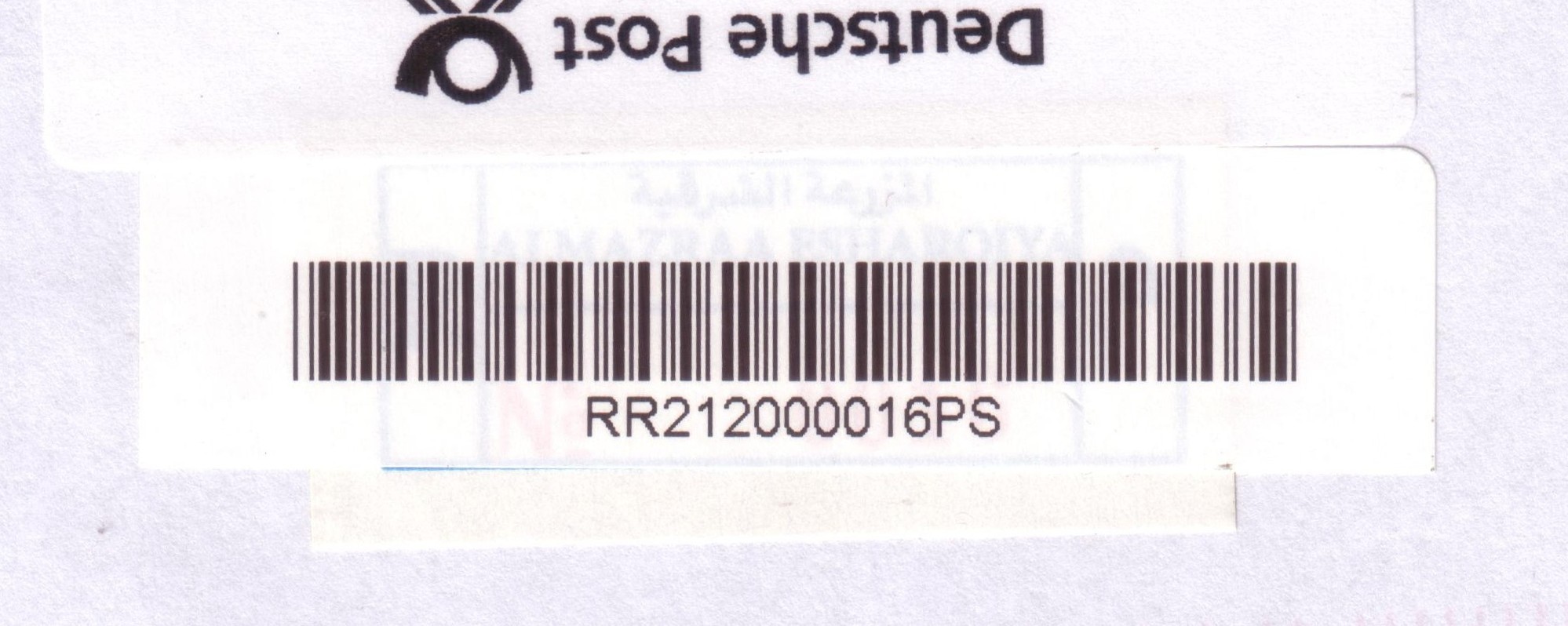
| Al Mazra aesh Sharqiya Mazrae Sharqia, Al Mazra'a ash Sharqiya, Al Mazra Al Sharqiyah | Population: 4,495 | ||||||||||
| Ram | |||||||||||
| |||||||||||
| |||||||||||
 mazrasharqiya_RRR212000016PS")
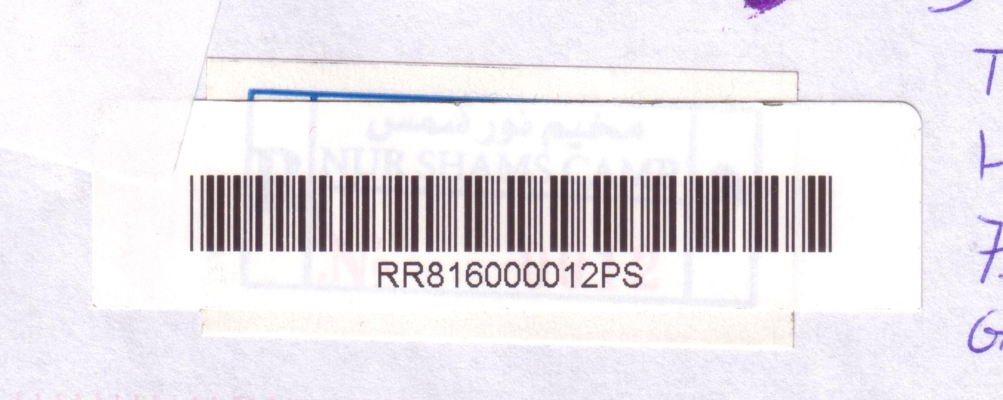
| Nur Shams Camp Nur Shams Camp | Population: 6,479 | ||||||||||
| Tul | |||||||||||
| |||||||||||
| |||||||||||
 nurshams_RRR816000012PS")
| Rafah Rafah | Population: 71,003 | ||||||||||
| Raf | |||||||||||
| |||||||||||
 gaza5_R000863")
| Salfit Salfit | Population: 8,796 | ||||||||||
| Sal | |||||||||||
| |||||||||||
 salfit_RRR303005357PS")
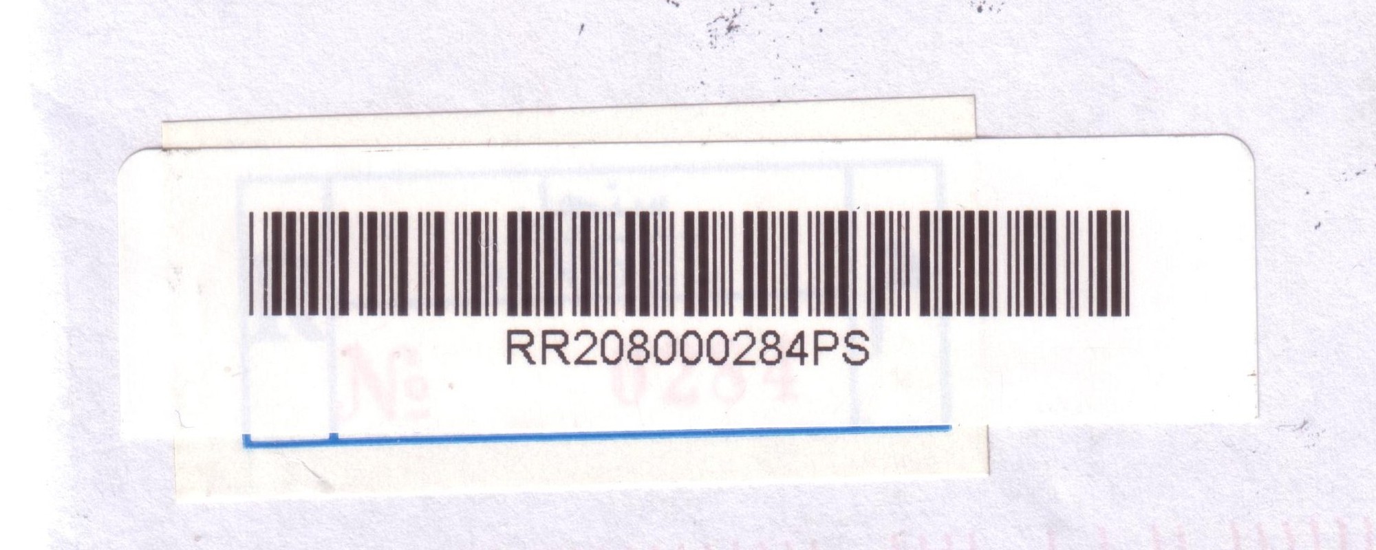
| Singel Senjel, Sinjil | Population: 5,236 | ||||||||||
| Ram | |||||||||||
| |||||||||||
| |||||||||||
| |||||||||||
| |||||||||||
 singel_RRR208000284PS")
 singel_RRR208000285PS")
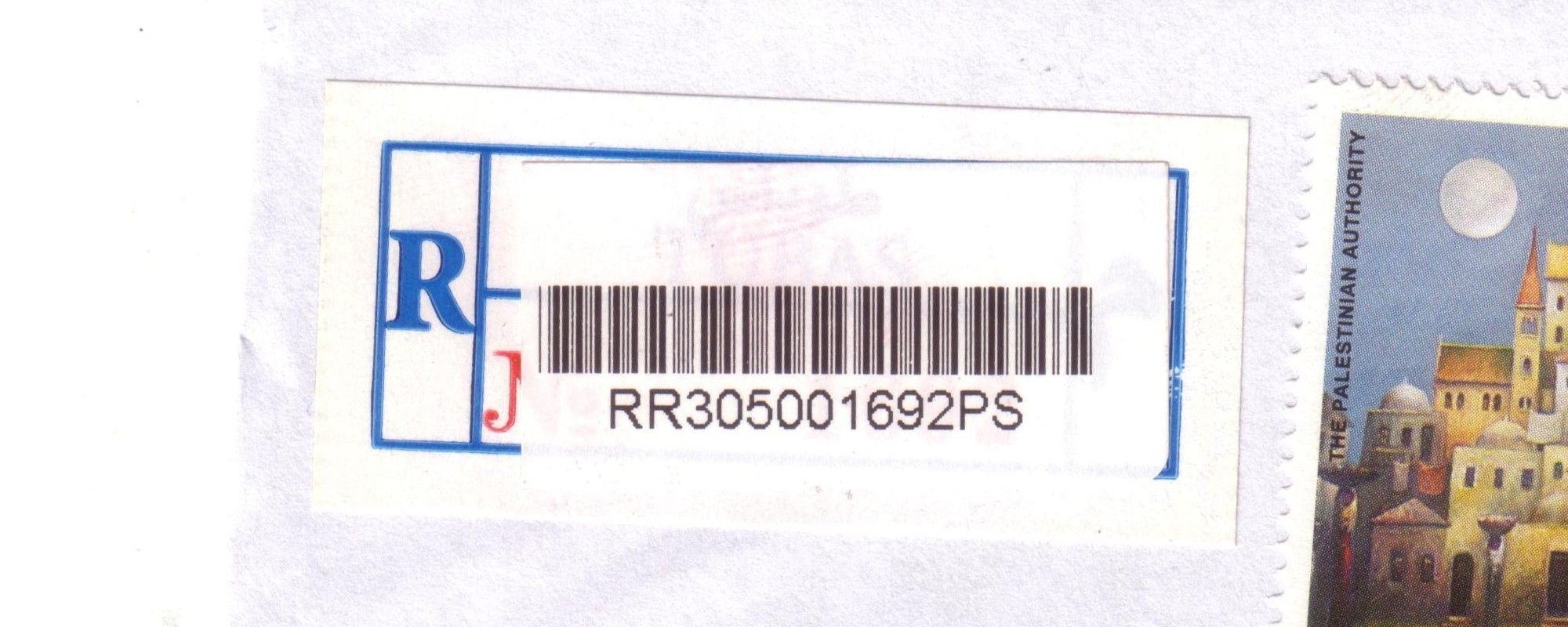
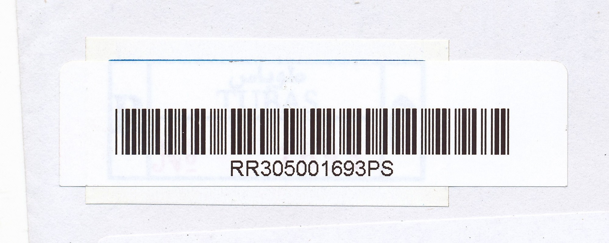
| Tubas Tobas | Population: 16,154 | ||||||||||
| Tub | |||||||||||
| |||||||||||
| |||||||||||
| |||||||||||
| |||||||||||
 tubas_RRR305001692PS")
 tubas_RRR305001693PS")
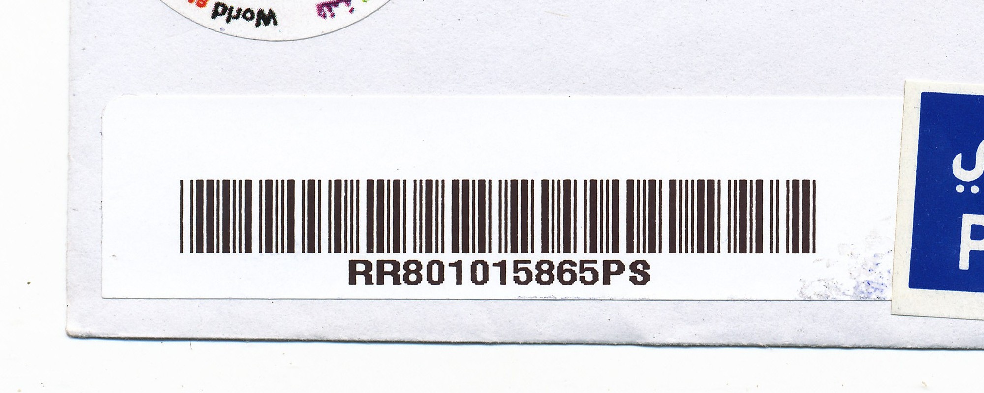
| Tulkarm Toolkerem, Tul-Karm | Population: 21,300 | ||||||||||
| Tul | |||||||||||
| |||||||||||
 tulkarm_RRR801015865PS")
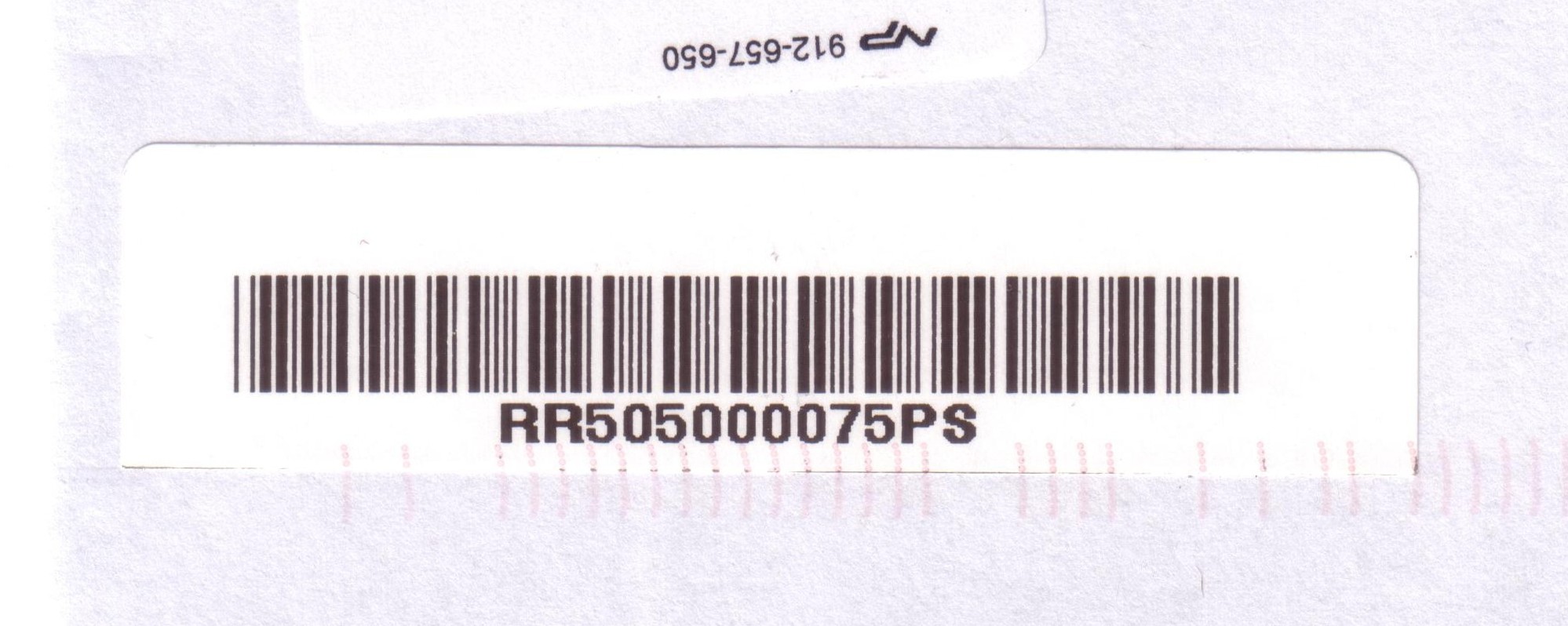
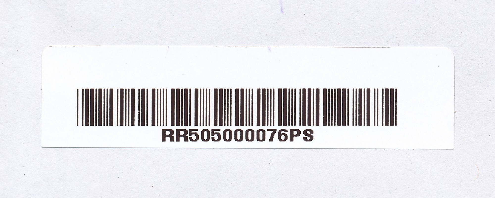
| Al 'Ubeidiya Al 'Ubeidiya, Al Ubeidiya | Population: 10,753 | ||||||||||
| Bet | |||||||||||
| |||||||||||
| |||||||||||
 ubeidiya_RRR505000075PS")
 ubeidiya_RRR505000076PS")